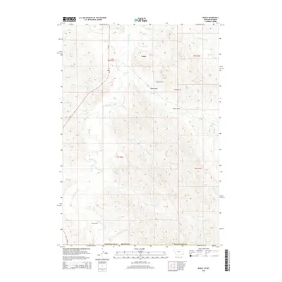
2014 Map of Biddle
USGS Topo · Published 2014About this map
Biddle serves as the primary focal point of this ranching landscape in southeastern Montana. The Little Powder River winds northward through the terrain, joined by a network of seasonal drainages including Badger Cr and Blacktail Cr. The map captures the organized township and range system typical of the Western plains, with section lines crossing over landforms such as Wilson Gulch and Rambo Gulch. Transportation in the area is defined by MT-59, which parallels the river valley, providing the main artery for local travel and agricultural transport. The abundance of named coulees and creeks, such as Prairie Dog Cr and Williams Cr, reflects the critical importance of water sources and drainage patterns in this semi-arid environment during the early 21st century.
Find a feature on this map
25 named features on this map. Tap any name to fly to it.
Don’t see what you’re looking for? This feature index may not catch every label — zoom into the map to look around manually.
Map Details
Editions of this 2014 Biddle Map
This is the sole edition of this map. No revisions or reprints were ever made.
Other maps of this area

1954 · Ekalaka
USGS Topo · 1:250,000

1954 · Gillette
USGS Topo · 1:250,000

1955 · Gillette
USGS Topo · 1:250,000

1956 · Ekalaka
USGS Topo · 1:250,000

1958 · Gillette
USGS Topo · 1:250,000

1958 · Ekalaka
USGS Topo · 1:250,000

1962 · Gillette
USGS Topo · 1:250,000

1965 · Ekalaka
USGS Topo · 1:250,000

1970 · Pine Creek
USGS Topo · 1:24,000

1970 · Sanburn Reservoir
USGS Topo · 1:24,000