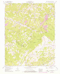
1958 Map of Big A Mountain
USGS Topo · Published 1976About this map
Stinson Ridge and Fletcher Ridge dominate the rugged landscape of this Southwest Virginia border region, where the Buchanan and Russell County line winds across the Sandy Valley Divide. The map details a scattered mountain society during the late 1950s, with updates from the mid-1970s. Small communities like Council and Venia are focal points for a landscape dotted with family-named landmarks such as McGlothlin Cemetery and Nuckles Cemetery. The local economy and social structure of the hollows are visible through the distribution of landmarks like the Big A Mountain Lookout Tower, several country churches including Corinth Church, and the presence of a Strip Mine north of Combs Ridge School. The intricate network of branches and forks, such as Weaver Creek and Lester Fork, dictates the placement of settlements and roads like Russell Road.
Find a feature on this map
121 named features on this map. Tap any name to fly to it.
Don’t see what you’re looking for? This feature index may not catch every label — zoom into the map to look around manually.
Map Details
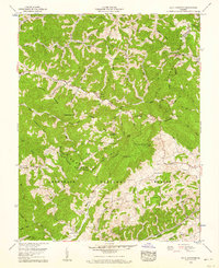
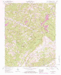
Editions of this 1958 Big A Mountain Map
Other maps of this area

1886 · Grundy
USGS Topo · 1:125,000

1890 · Grundy
USGS Topo · 1:125,000

1891 · Tazewell
USGS Topo · 1:125,000

1891 · Abingdon
USGS Topo · 1:125,000

1892 · Grundy
USGS Topo · 1:125,000

1894 · Abingdon
USGS Topo · 1:125,000

1895 · Tazewell
USGS Topo · 1:125,000

1897 · Tazewell
USGS Topo · 1:125,000

1897 · Bristol
USGS Topo · 1:125,000

1902 · Bristol
USGS Topo · 1:125,000