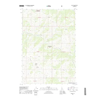
2020 Map of Big Baldy
USGS Topo · Published 2020About this map
Big Baldy Ridge dominates the landscape of this high-elevation terrain in Valley County, where the boundaries of the Payette National Forest and Boise National Forest meet. The map reveals a network of drainages feeding into the Middle Fork Salmon Wild and Scenic River along the eastern edge, including Indian Creek and Kwiskwis Cr. A key point of interest for those studying the area's natural features is the Kwiskwis Hot Spring, located along the upper reaches of Indian Creek. This region is characterized by significant vertical relief, rising to peaks such as Red Peak and Battleaxe Mtn. The presence of the Big Baldy Lo lookout site underscores the importance of this vantage point for forest management. Human presence is limited to the Garden Way and a series of numbered private blocks, indicating a landscape primarily managed for conservation and wilderness values.
Find a feature on this map
48 named features on this map. Tap any name to fly to it.
Don’t see what you’re looking for? This feature index may not catch every label — zoom into the map to look around manually.
Map Details
Editions of this 2020 Big Baldy Map
This is the sole edition of this map. No revisions or reprints were ever made.
Other maps of this area

1937 · Yellow Pine
USGS Topo · 1:48,000

1943 · Yellow Pine
USGS Topo · 1:62,500

1957 · Challis
USGS Topo · 1:250,000

1960 · Challis
USGS Topo · 1:250,000

1961 · Greyhound Ridge
USGS Topo · 1:62,500

1961 · Chinook Mtn
USGS Topo · 1:62,500

1963 · Challis
USGS Topo · 1:250,000
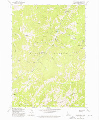
1973 · Rainbow Peak
USGS Topo · 1:24,000
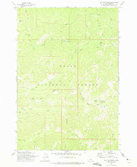
1973 · Big Chief Creek
USGS Topo · 1:24,000
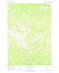
1973 · Safety Creek
USGS Topo · 1:24,000