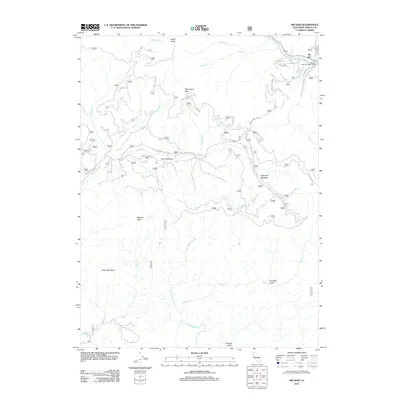
2012 Map of Big Bar
USGS Topo · Published 2012About this map
Big Bar serves as a focal point along the northern banks of the Trinity River in this part of Trinity County. The area is defined by its administrative and residential clusters, including the Big Bar District Ranger Office and a local Post Office, which anchor the small community. To the south, the landscape transitions into a network of steep drainages and high points such as Pattison Peak and Gates Mountain.
Find a feature on this map
33 named features on this map. Tap any name to fly to it.
Don’t see what you’re looking for? This feature index may not catch every label — zoom into the map to look around manually.
Map Details
Editions of this 2012 Big Bar Map
This is the sole edition of this map. No revisions or reprints were ever made.
Other maps of this area

1909 · Big Bar
USGS Topo · 1:96,000

1915 · Big Bar and Vicinity
USGS Topo · 1:250,000

1951 · Hayfork
USGS Topo · 1:62,500

1951 · Helena
USGS Topo · 1:62,500

1951 · Hyampom
USGS Topo · 1:62,500

1951 · Ironside Mountain
USGS Topo · 1:62,500

1958 · Redding
USGS Topo · 1:250,000

1982 · Helena
USGS Topo · 1:24,000
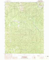
1982 · Big Bar
USGS Topo · 1:24,000
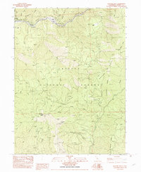
1982 · Hayfork Bally
USGS Topo · 1:24,000