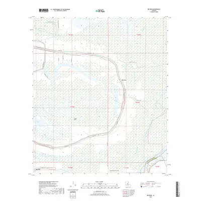
2018 Map of Big Bend
USGS Topo · Published 2018About this map
Bayou des Glaises snakes across this corner of Avoyelles Parish, defining the settlement patterns and agricultural boundaries of the central Louisiana lowlands. The community of Big Bend sits within a sharp oxbow of the bayou, surrounded by a dense network of local roads such as Pete Laborde Rd and Rexmere Ln that serve the outlying farmsteads. To the south, the settlement of Red Fish marks the transition toward the massive Atchafalaya River, which forms the southeastern boundary against Pointe Coupee Parish.
Find a feature on this map
41 named features on this map. Tap any name to fly to it.
Don’t see what you’re looking for? This feature index may not catch every label — zoom into the map to look around manually.
Map Details
Editions of this 2018 Big Bend Map
This is the sole edition of this map. No revisions or reprints were ever made.
Other maps of this area

1939 · Artonish
USGS Topo · 1:62,500

1941 · Voorhies
USGS Topo · 1:62,500

1941 · Batchelor
USGS Topo · 1:62,500

1953 · Natchez
USGS Topo · 1:250,000

1954 · Artonish
USGS Topo · 1:62,500

1954 · Baton Rouge
USGS Topo · 1:250,000

1955 · Artonish
USGS Topo · 1:62,500

1955 · Batchelor
USGS Topo · 1:62,500

1955 · Odenburg
USGS Topo · 1:62,500

1956 · Natchez
USGS Topo · 1:250,000