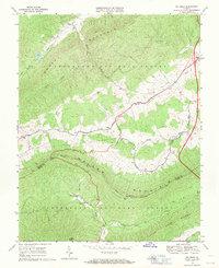
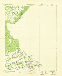
1968 Map of Big Bend
USGS Topo · Published 1971About this map
Walker Mountain and Brushy Mountain dominate this part of the Jefferson National Forest during the late 1960s. The landscape is defined by long, parallel ridges and the creek-fed valleys between them, where small communities like Effna and Suiter are situated. The survey captures a network of rural institutions, including Community Ch, Trinity Ch, and Green Hill Ch, reflecting the dispersed nature of settlement in this part of Bland County. In the southern portion of the map, the Appalachian Trail winds along the crest of the ridge near a Lookout Tower and a Picnic Area at Big Bend, providing a detailed record of recreational infrastructure before later developments. The transition of the local road system is evident in the Proposed Location of new highway routes through the valley of Walker Creek.
Find a feature on this map
35 named features on this map. Tap any name to fly to it.
Don’t see what you’re looking for? This feature index may not catch every label — zoom into the map to look around manually.
Map Details
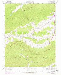
Editions of this 1968 Big Bend Map
2 editions found
Other maps of this area

1887 · Pocahontas
USGS Topo · 1:125,000

1889 · Wytheville
USGS Topo · 1:125,000

1891 · Pocahontas
USGS Topo · 1:125,000

1892 · Wytheville
USGS Topo · 1:125,000

1894 · Pocahontas
USGS Topo · 1:125,000

1895 · Pocahontas
USGS Topo · 1:125,000

1930 · Speedwell
USGS Topo · 1:62,500
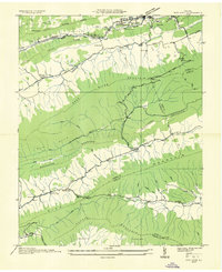
1935 · Nye Cove
USGS Topo · 1:24,000
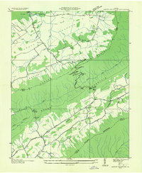
1935 · Garden Mountain
USGS Topo · 1:24,000
1935 · Groseclose
USGS Topo · 1:24,000