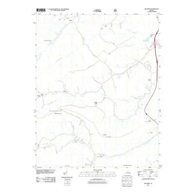
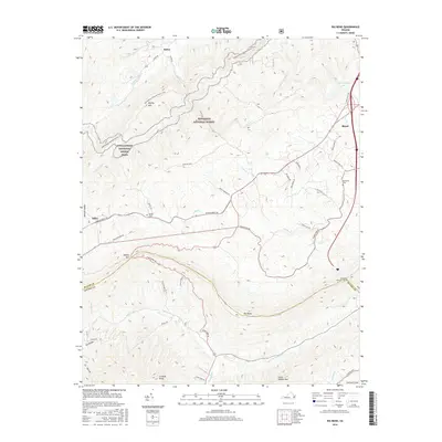
1968 Map of Big Bend
USGS Topo · Published 1978About this map
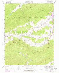
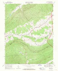
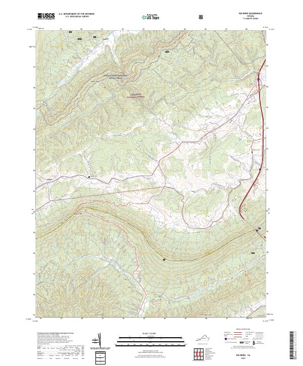
Bland serves as the focal point of this highland survey, where the valley floors are dotted with rural congregations such as Trinity Ch and Green Hill Ch. The landscape is dominated by the parallel ridges of Brushy Mountain and Little Walker Mountain, partitioned by the Bland Co and Wythe Co boundary line. In the southern portion of the sheet, the Appalachian Trail snakes across the high ground near a prominent Lookout Tower and the Big Bend topographic feature. The settlement pattern follows the drainage of Walker Creek and Wolf Creek, showing a transition in the late 1960s and 1970s as modern infrastructure like a Landing Strip and Radio Facility appear alongside traditional sites like the Original Stony Fork Ch.
Find a feature on this map
33 named features on this map. Tap any name to fly to it.
Don’t see what you’re looking for? This feature index may not catch every label — zoom into the map to look around manually.
Map Details
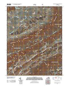
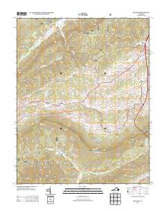
Editions of this 1968 Big Bend Map
2 editions found
Historical Maps of Eagle Oak Through Time
13 maps found
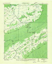
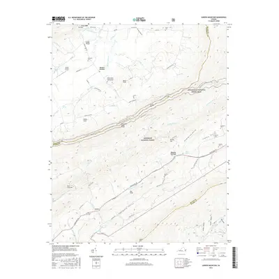
1935 Garden Mountain
Bland County, VA
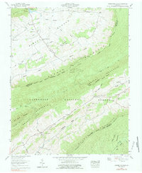
1958 Garden Mountain
Bland County, VA
1968 Big Bend
Bland County, VA
2011 Big Bend
Bland County, VA
2011 Garden Mountain
Bland County, VA
2013 Big Bend
Bland County, VA
2013 Garden Mountain
Bland County, VA
2016 Big Bend
Bland County, VA
2016 Garden Mountain
Bland County, VA
2019 Big Bend
Bland County, VA
2019 Garden Mountain
Bland County, VA
2022 Big Bend
Bland County, VA
2022 Garden Mountain
Bland County, VA