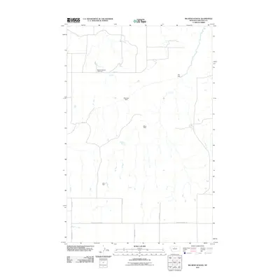
2011 Map of Big Bend School
USGS Topo · Published 2011About this map
Big Bend School (Historical) stands as a marker of the educational history of this rural corner of Chouteau County. The landscape is defined by its intermittent water sources and distinct geological formations, including Chimney Rock and Black Rock. Drainage patterns in the area are visible through The Sag and the presence of McCullen Spring, while water management is indicated by the Artic Dam. A sparse network of local roads such as Geraldine Rd N and Eagle Butte School Rd connects the section lines, reflecting the traditional township-and-range surveying that organized this cattle and wheat country. The presence of Alkali Loop and Pump Station Rd suggests the local importance of ranching infrastructure and mineral characteristics in this high plains environment.
Find a feature on this map
14 named features on this map. Tap any name to fly to it.
Don’t see what you’re looking for? This feature index may not catch every label — zoom into the map to look around manually.
Map Details
Editions of this 2011 Big Bend School Map
This is the sole edition of this map. No revisions or reprints were ever made.
Other maps of this area

1890 · Fort Benton
USGS Topo · 1:250,000

1892 · Fort Benton
USGS Topo · 1:250,000

1897 · Fort Benton
USGS Topo · 1:250,000

1919 · Big Sandy
USGS Topo · 1:125,000

1953 · Boggs Island
USGS Topo · 1:24,000

1953 · Eagle Buttes
USGS Topo · 1:24,000

1953 · Verona
USGS Topo · 1:24,000

1953 · Big Bend School
USGS Topo · 1:24,000

1953 · Lonetree Coulee
USGS Topo · 1:24,000

1953 · Pilot Rock
USGS Topo · 1:24,000