
1953 Map of Boggs Island
USGS Topo · Published 1954About this map
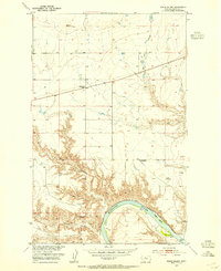
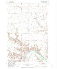
The Missouri River carves a deep arc through this Chouteau County landscape, defining the topography south of the Virgelle settlement. Published as part of the Department of the Interior's development program for the Missouri River Basin, the survey captures a rural Montana network of small schools and river crossings. Boggs Island sits prominently in the river channel, just west of the Virgelle Ferry crossing point. The upland plains north of the river are segmented by deep drainage features like Dry Fork Coulee and Spring Coulee. This mid-century view shows a sparse distribution of educational landmarks serving the ranching community, including the Mt Vernon School and the Little School (Abbott). Higher elevations are marked by primary survey points like VABM 3083 Carp and VABM 2748 Coal Bank, which overlook the dramatic breaks leading down to the water.
Find a feature on this map
17 named features on this map. Tap any name to fly to it.
Don’t see what you’re looking for? This feature index may not catch every label — zoom into the map to look around manually.
Map Details
Editions of this 1953 Boggs Island Map
3 editions found
Other maps of this area

1890 · Fort Benton
USGS Topo · 1:250,000

1892 · Fort Benton
USGS Topo · 1:250,000

1897 · Fort Benton
USGS Topo · 1:250,000

1906 · Lonesome
USGS Topo · 1:62,500

1919 · Big Sandy
USGS Topo · 1:125,000

1953 · Loma East
USGS Topo · 1:24,000

1953 · Verona
USGS Topo · 1:24,000

1953 · Big Bend School
USGS Topo · 1:24,000

1953 · Stranahan
USGS Topo · 1:24,000

1954 · Great Falls
USGS Topo · 1:250,000