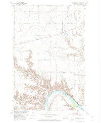
1953 Map of Boggs Island
USGS Topo · Published 1974About this map
The Missouri River cuts a deep, winding path through this northern Montana landscape, defined by dramatic breaks and the alluvial landform of Boggs Island. This mid-century survey captures a sparsely settled agricultural and riverine region where the Virgelle Ferry remains a critical link across the water near the small settlement of Virgelle. The upland plains are marked by the presence of early 20th-century rural education sites, including the Mt Vernon School and the already noted Little School (Aband), reflecting the shifting demographics of Chouteau County as small homesteads consolidated.
Find a feature on this map
14 named features on this map. Tap any name to fly to it.
Don’t see what you’re looking for? This feature index may not catch every label — zoom into the map to look around manually.
Map Details
Editions of this 1953 Boggs Island Map
3 editions found
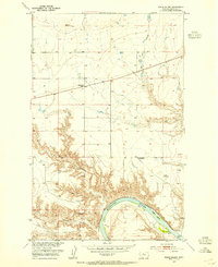
Other maps of this area

1890 · Fort Benton
USGS Topo · 1:250,000

1892 · Fort Benton
USGS Topo · 1:250,000

1897 · Fort Benton
USGS Topo · 1:250,000

1906 · Lonesome
USGS Topo · 1:62,500

1919 · Big Sandy
USGS Topo · 1:125,000

1953 · Boggs Island
USGS Topo · 1:24,000

1953 · Loma East
USGS Topo · 1:24,000

1953 · Verona
USGS Topo · 1:24,000

1953 · Big Bend School
USGS Topo · 1:24,000

1953 · Stranahan
USGS Topo · 1:24,000