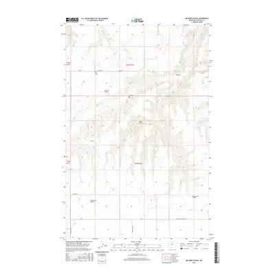
2017 Map of Big Bend School
USGS Topo · Published 2017About this map
Big Bend School stands as a focal point in this sparsely settled section of Chouteau County, where the high plains are deeply incised by complex drainage systems. The landscape is defined by its verticality and erosion, featuring prominent landmarks like Chimney Rock and Black Rock that rise above the surrounding terrain. Seasonal watercourses and topographic depressions carve the earth, notably at Jackson Coulee and the broad feature known as The Sag.
Find a feature on this map
19 named features on this map. Tap any name to fly to it.
Don’t see what you’re looking for? This feature index may not catch every label — zoom into the map to look around manually.
Map Details
Editions of this 2017 Big Bend School Map
This is the sole edition of this map. No revisions or reprints were ever made.
Other maps of this area

1890 · Fort Benton
USGS Topo · 1:250,000

1892 · Fort Benton
USGS Topo · 1:250,000

1897 · Fort Benton
USGS Topo · 1:250,000

1919 · Big Sandy
USGS Topo · 1:125,000

1953 · Boggs Island
USGS Topo · 1:24,000

1953 · Eagle Buttes
USGS Topo · 1:24,000

1953 · Verona
USGS Topo · 1:24,000

1953 · Big Bend School
USGS Topo · 1:24,000

1953 · Lonetree Coulee
USGS Topo · 1:24,000

1953 · Pilot Rock
USGS Topo · 1:24,000