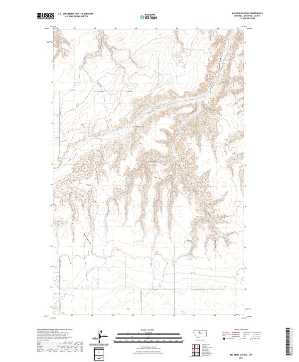
2024 Map of Big Bend School
USGS Topo · Published 2024About this map
Upper Missouri River Breaks National Monument defines the northeastern corner of this Chouteau County landscape, where the breaks begin their descent toward the Missouri River corridor. The terrain is characterized by complex drainage patterns, including Jackson Coulee, Rattlesnake Coulee, and Homestead Coulee, which cut through the high plains. Distinctive geological formations such as Chimney Rock and Black Rock serve as prominent landmarks amidst a network of rural routes like Big Bend Rd and Sag Rd. The presence of McCullen Spring and a geographic depression known as The Sag indicate the vital role of water and topography in this ranching country. This recent survey also documents the local road system reaching toward the former site of a local landmark along Eagle Butte School Rd.
Find a feature on this map
20 named features on this map. Tap any name to fly to it.
Don’t see what you’re looking for? This feature index may not catch every label — zoom into the map to look around manually.
Map Details
Editions of this 2024 Big Bend School Map
This is the sole edition of this map. No revisions or reprints were ever made.
Other maps of this area

1890 · Fort Benton
USGS Topo · 1:250,000

1892 · Fort Benton
USGS Topo · 1:250,000

1897 · Fort Benton
USGS Topo · 1:250,000

1919 · Big Sandy
USGS Topo · 1:125,000

1953 · Boggs Island
USGS Topo · 1:24,000

1953 · Eagle Buttes
USGS Topo · 1:24,000

1953 · Verona
USGS Topo · 1:24,000

1953 · Big Bend School
USGS Topo · 1:24,000

1953 · Lonetree Coulee
USGS Topo · 1:24,000

1953 · Pilot Rock
USGS Topo · 1:24,000