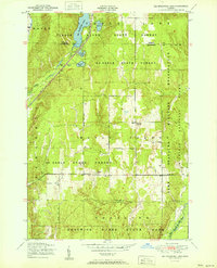
1951 Map of Big Bradford Lake
USGS Topo · Published 1951About this map
Big Bradford Lake and its surrounding woodlands define this 1951 snapshot of the border between Otsego and Crawford counties. The landscape is dominated by the sprawling Au Sable State Forest and the northern reaches of Hartwick Pines State Park, reflecting a region dedicated to conservation and public land management. Human activity is clustered around small settlements like Forbush Corner and the seasonal Bass Lake Cabins, while the New York Central railroad cuts through the western section near Bradford Creek.
Find a feature on this map
22 named features on this map. Tap any name to fly to it.
Don’t see what you’re looking for? This feature index may not catch every label — zoom into the map to look around manually.
Map Details
Editions of this 1951 Big Bradford Lake Map
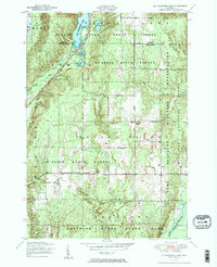
3 editions found
Other maps of this area

1949 · Otsego Lake
USGS Topo · 1:62,500

1949 · Fletcher
USGS Topo · 1:62,500

1949 · Grayling
USGS Topo · 1:62,500

1950 · Lake Margrethe
USGS Topo · 1:24,000

1950 · Grayling
USGS Topo · 1:24,000

1950 · Turtle Lake
USGS Topo · 1:24,000

1951 · K P Lake
USGS Topo · 1:24,000

1951 · Big Bradford Lake
USGS Topo · 1:24,000

1951 · Wakeley Lake
USGS Topo · 1:24,000

1951 · Grayling
USGS Topo · 1:24,000
Featured Places
- Hayes Township, MI
- Frederic Township, MI
- Forbush Corner, MI
- Grayling Charter Township, MI
- Maple Forest Township, MI