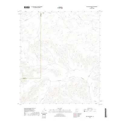
2019 Map of Big Canyon Ranch
USGS Topo · Published 2019About this map
Big Canyon Ranch sits in a high-relief landscape along the border of Pecos and Terrell Counties, where deep drainage systems dictate the paths of rural transit. The most prominent hydrological feature is Downie Draw, which cuts through the southern half of the quadrangle, flanked by steep canyon walls. This topographic survey captures the sparse network of private roads and ranching infrastructure that sustains the region's isolated agricultural operations.
Find a feature on this map
11 named features on this map. Tap any name to fly to it.
Don’t see what you’re looking for? This feature index may not catch every label — zoom into the map to look around manually.
Map Details
Editions of this 2019 Big Canyon Ranch Map
This is the sole edition of this map. No revisions or reprints were ever made.
Other maps of this area

1928 · Sanderson
USGS Topo · 1:125,000

1954 · Fort Stockton
USGS Topo · 1:250,000

1958 · Fort Stockton
USGS Topo · 1:250,000

1969 · Circle Dot Ranch
USGS Topo · 1:24,000

1969 · Sanderson
USGS Topo · 1:24,000

1969 · Big Canyon Ranch
USGS Topo · 1:24,000

1969 · Big Canyon Ranch NW
USGS Topo · 1:24,000
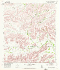
1969 · Big Canyon Ranch SW
USGS Topo · 1:24,000

1969 · Dryden NW
USGS Topo · 1:24,000
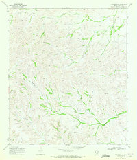
1969 · Sanderson NE
USGS Topo · 1:24,000