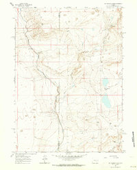
1961 Map of Big Charlie Lakes
USGS Topo · Published 1964About this map
The Little Medicine Bow River winds through this high-altitude landscape on the border of Carbon and Albany counties. In the early 1960s, this area remained largely defined by traditional ranching operations and natural water sources. The namesake Big Charlie Lakes are prominent features in the eastern half of the quadrangle, situated near small drainages like Spring Creek and Sheep Creek. Isolated outposts of agricultural life are visible at Cram Ranch and Heward Ranch, along with a standalone Corral, indicating a terrain utilized for seasonal grazing and livestock management. This topographic study reflects the sparse settlement patterns typical of the Wyoming high plains, where man-made infrastructure was limited to light-duty and unimproved roads connecting disparate family holdings and watering holes.
Find a feature on this map
8 named features on this map. Tap any name to fly to it.
Don’t see what you’re looking for? This feature index may not catch every label — zoom into the map to look around manually.
Map Details
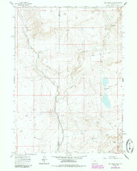
Editions of this 1961 Big Charlie Lakes Map
2 editions found
Other maps of this area

1954 · Torrington
USGS Topo · 1:250,000

1955 · Casper
USGS Topo · 1:250,000

1958 · Casper
USGS Topo · 1:250,000

1958 · Torrington
USGS Topo · 1:250,000

1959 · Moss Agate Reservoir
USGS Topo · 1:24,000

1959 · Chalk Hills
USGS Topo · 1:24,000
1961 · Walker Draw SE
USGS Topo · 1:24,000

1961 · T B Ranch
USGS Topo · 1:24,000
1961 · Walker Draw NW
USGS Topo · 1:24,000

1962 · Casper
USGS Topo · 1:250,000