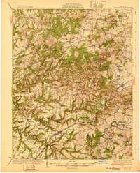
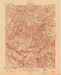
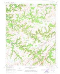
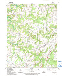
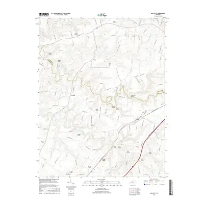
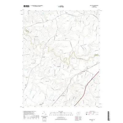
1932 Map of Big Clifty
USGS Topo · Published 1932About this map
Industrial and rural landscapes converge near the Breckinridge and Hardin County line. The economy of the early 1930s is visible in the heavy infrastructure of the Illinois Central railroad and the presence of specialized extractive industries like the Rock Crush Asphalt Mine and the Ohio Valley Asphalt Mine. These sites, alongside a Quarry near Stephensburg, reveal a region defined by its geological resources.
Find a feature on this map
93 named features on this map. Tap any name to fly to it.
Don’t see what you’re looking for? This feature index may not catch every label — zoom into the map to look around manually.
Map Details
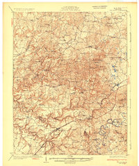
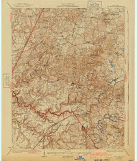
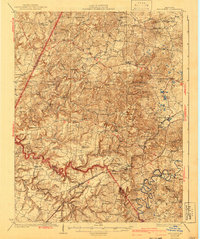
Editions of this 1932 Big Clifty Map
5 editions found
Historical Maps of Clarkson Through Time
11 maps found
1932 Big Clifty
Grayson County, KY
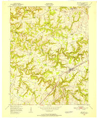
1949 Big Clifty
Grayson County, KY
1949 Big Clifty
Grayson County, KY
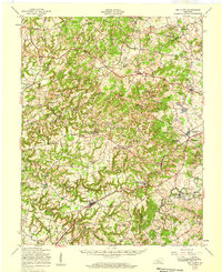
1960 Big Clifty
Grayson County, KY
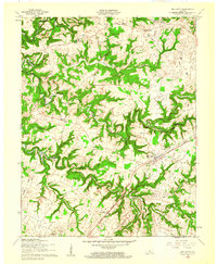
1972 Big Clifty
Grayson County, KY
1991 Big Clifty
Grayson County, KY
2010 Big Clifty
Grayson County, KY
2013 Big Clifty
Grayson County, KY
2016 Big Clifty
Grayson County, KY
2019 Big Clifty
Grayson County, KY
2022 Big Clifty
Grayson County, KY