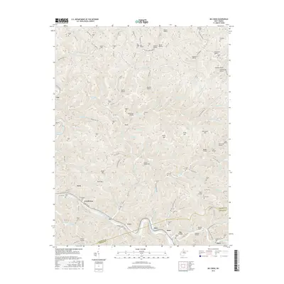
2016 Map of Big Creek
USGS Topo · Published 2016About this map
The Guyandotte River winds through the southwestern portion of this landscape, defining the corridor for settlements like Ferrellsburg and Harts. This region, split by the Lincoln and Logan county line, is characterized by a dense network of hollows and ridges, including Pea Ridge and Green Shoals Mtn. The map reveals a deeply rooted community structure, evidenced by the numerous family-named cemeteries such as Arnold Cem, Maynard Cem, and Stowers Cem tucked into narrow valleys. Transport patterns follow the water, with Riverview Ave and the railroad tracing the riverbank, while interior settlements like Leet and Toney occupy the intersections of smaller branches. The drainage divide between the Guyandotte River and the Mud River in the northeast is marked by topographic high points like Union Gap and Whetstone Gap.
Find a feature on this map
160 named features on this map. Tap any name to fly to it.
Don’t see what you’re looking for? This feature index may not catch every label — zoom into the map to look around manually.
Map Details
Editions of this 2016 Big Creek Map
This is the sole edition of this map. No revisions or reprints were ever made.
Other maps of this area

1887 · Warfield
USGS Topo · 1:125,000

1891 · Oceana
USGS Topo · 1:125,000

1891 · Warfield
USGS Topo · 1:125,000

1892 · Huntington
USGS Topo · 1:125,000

1893 · Oceana
USGS Topo · 1:125,000

1898 · Huntington
USGS Topo · 1:125,000

1898 · Oceana
USGS Topo · 1:125,000

1899 · Charleston
USGS Topo · 1:125,000

1902 · Midkiff
USGS Topo · 1:62,500

1907 · Midkiff
USGS Topo · 1:62,500