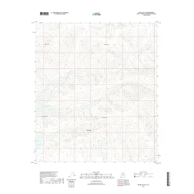
2018 Map of Big Delta A-2 SE
USGS Topo · Published 2018About this map
Healy Lake is the central focus of this 2018 survey, appearing as a significant water body and settlement site within the Southeast Fairbanks Census Area. The surrounding landscape is defined by its complex hydrology, with the Volkmar River winding through the northern sections and the Healy River appearing in the southeast. This modern topographical study captures the remote character of the interior, illustrating how the small settlement at Healy Lake sits at the nexus of these waterways and the vast wetlands of the Tanana Valley. The map provides precise detail on the hydrography and public land survey boundaries, including t9s r15e and t10s r16e, which organize the unpopulated stretches of the Unorganized Borough.
Find a feature on this map
8 named features on this map. Tap any name to fly to it.
Don’t see what you’re looking for? This feature index may not catch every label — zoom into the map to look around manually.
Map Details
Editions of this 2018 Big Delta A-2 SE Map
This is the sole edition of this map. No revisions or reprints were ever made.
Other maps of this area

1950 · Mount Hayes
USGS Topo · 1:250,000

1950 · Big Delta
USGS Topo · 1:250,000

1951 · Big Delta
USGS Topo · 1:250,000

1951 · Mount Hayes
USGS Topo · 1:250,000

1954 · Mount Hayes D-2
USGS Topo · 1:63,360

1954 · Mount Hayes D-1
USGS Topo · 1:63,360

1954 · Big Delta A-2
USGS Topo · 1:63,360

1955 · Big Delta A-1
USGS Topo · 1:63,360

1955 · Big Delta A-2
USGS Topo · 1:63,360

1955 · Mount Hayes D-2
USGS Topo · 1:63,360