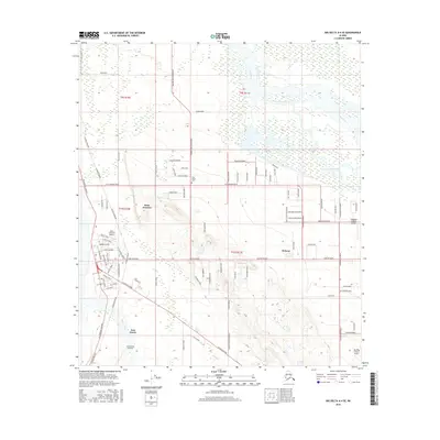
2016 Map of Big Delta A-4 SE
USGS Topo · Published 2016About this map
Delta Junction and the adjacent community of Deltana anchor this landscape at the intersection of critical Alaskan infrastructure and subarctic wilderness. The Alaska Pipeline and the Richardson Highway define the corridor south toward Fort Greely, where the Allen Army Airfield serves as a major military waypoint. The terrain transitions from the braided channels of the Tanana River and the spring-fed waters of Clearwater Creek in the north to the structured street grids of the settlements below.
Find a feature on this map
89 named features on this map. Tap any name to fly to it.
Don’t see what you’re looking for? This feature index may not catch every label — zoom into the map to look around manually.
Map Details
Editions of this 2016 Big Delta A-4 SE Map
This is the sole edition of this map. No revisions or reprints were ever made.
Other maps of this area

1950 · Mount Hayes
USGS Topo · 1:250,000

1950 · Big Delta
USGS Topo · 1:250,000

1950 · Mount Hayes D-4
USGS Topo · 1:63,360

1950 · Big Delta A-4
USGS Topo · 1:63,360

1951 · Big Delta
USGS Topo · 1:250,000

1951 · Mount Hayes
USGS Topo · 1:250,000

1952 · Mount Hayes D-4
USGS Topo · 1:63,360

1952 · Big Delta A-4
USGS Topo · 1:63,360

1954 · Mount Hayes D-3
USGS Topo · 1:63,360

1955 · Big Delta A-3
USGS Topo · 1:63,360