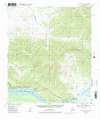
1949 Map of Big Delta B-5
USGS Topo · Published 1978About this map
The Tanana River and its vast Flats define this interior Alaskan landscape, which preserves a layer of infrastructure development from the mid-20th century. The settlement of Richardson serves as a focal point along the Richardson Highway, which parallels the river's northern bank. This 1949 survey, updated with 1975 revisions, includes the path of The Trans-Alaska Pipeline while it was still under construction, cutting across the drainages of McCoy Creek and Minton Creek.
Find a feature on this map
33 named features on this map. Tap any name to fly to it.
Don’t see what you’re looking for? This feature index may not catch every label — zoom into the map to look around manually.
Map Details
Editions of this 1949 Big Delta B-5 Map
3 editions found
Other maps of this area

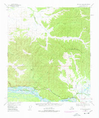
1949 · Big Delta B-5
USGS Topo · 1:63,360

1949 · Big Delta B-6
USGS Topo · 1:63,360

1949 · Big Delta C-6
USGS Topo · 1:63,360

1949 · Big Delta A-6
USGS Topo · 1:63,360

1950 · Big Delta
USGS Topo · 1:250,000

1950 · Big Delta A-5
USGS Topo · 1:63,360

1950 · Big Delta A-4
USGS Topo · 1:63,360

1950 · Big Delta B-4
USGS Topo · 1:63,360

1951 · Big Delta
USGS Topo · 1:250,000
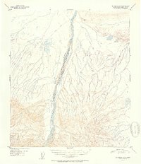
1951 · Big Delta A-6
USGS Topo · 1:63,360