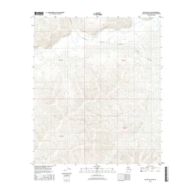
2016 Map of Big Delta B-6 NE
USGS Topo · Published 2016About this map
The Alaska Pipeline cuts a distinct industrial path across the northern half of this terrain, following the contours above the Salcha River valley. This 2016 survey of the Fairbanks North Star Borough illustrates the intersection of modern energy infrastructure with a complex drainage system. Tributaries like Redmond Cr and Shamrock Cr define the interior landscape, carving through the high country south of the main river. The map provides a precise look at the township and range boundaries, including t5s r5e and t6s r6e, which organize this largely undeveloped portion of the Alaska interior. For researchers, the combination of the pipeline corridor and the natural waterway network offers a clear view of how large-scale engineering projects are integrated into the subarctic wilderness.
Find a feature on this map
8 named features on this map. Tap any name to fly to it.
Don’t see what you’re looking for? This feature index may not catch every label — zoom into the map to look around manually.
Map Details
Editions of this 2016 Big Delta B-6 NE Map
This is the sole edition of this map. No revisions or reprints were ever made.
Other maps of this area

1949 · Big Delta B-5
USGS Topo · 1:63,360

1949 · Big Delta B-6
USGS Topo · 1:63,360

1949 · Big Delta C-6
USGS Topo · 1:63,360

1950 · Big Delta
USGS Topo · 1:250,000

1951 · Big Delta
USGS Topo · 1:250,000

1952 · Big Delta C-6
USGS Topo · 1:63,360

1952 · Big Delta B-6
USGS Topo · 1:63,360

1952 · Big Delta B-5
USGS Topo · 1:63,360

1958 · Big Delta C-5
USGS Topo · 1:63,360

1958 · Big Delta
USGS Topo · 1:250,000