
1958 Map of Big Delta C-5
USGS Topo · Published 1961About this map
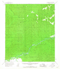
The Salcha River meanders across the southern portion of this interior Alaskan landscape, serving as a primary corridor for travel and early occupation. At the time of this 1958 field annotation, the area was largely remote, characterized by numerous creek drainages and limited human infrastructure. Multiple cabins and a singular Cabin are scattered along the riverbank and tributary mouths, while Ruins near Stuart Creek hint at earlier, perhaps more temporary, habitation or structures.
Find a feature on this map
15 named features on this map. Tap any name to fly to it.
Don’t see what you’re looking for? This feature index may not catch every label — zoom into the map to look around manually.
Map Details
Editions of this 1958 Big Delta C-5 Map
4 editions found
Other maps of this area

1949 · Big Delta B-5
USGS Topo · 1:63,360

1949 · Big Delta B-6
USGS Topo · 1:63,360

1949 · Big Delta C-6
USGS Topo · 1:63,360

1950 · Big Delta
USGS Topo · 1:250,000

1950 · Big Delta D-6
USGS Topo · 1:63,360

1950 · Big Delta B-4
USGS Topo · 1:63,360

1951 · Big Delta
USGS Topo · 1:250,000

1952 · Big Delta C-6
USGS Topo · 1:63,360

1952 · Big Delta D-6
USGS Topo · 1:63,360

1952 · Big Delta B-6
USGS Topo · 1:63,360