
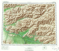
1958 Map of Big Delta
USGS Topo · Published 1966About this map
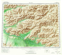
The confluence of the Tanana River and the Salcha River dominates this interior landscape, illustrating a period of military and civilian development along the Richardson Highway. The southern portion of the map centers on the strategic hub of Delta Junction and the historic settlement at Big Delta, where river navigation meets the overland route. Nearby, the expansive Fort Greely Military Reservation signifies the Cold War-era expansion of the United States military presence in the Alaska interior.
Find a feature on this map
76 named features on this map. Tap any name to fly to it.
Don’t see what you’re looking for? This feature index may not catch every label — zoom into the map to look around manually.
Map Details
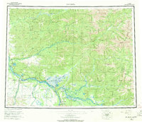
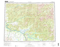
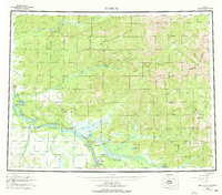
Editions of this 1958 Big Delta Map
6 editions found
Other maps of this area

1945 · Livengood
USGS Topo · 1:250,000

1949 · Fairbanks D-1
USGS Topo · 1:62,500

1949 · Big Delta B-5
USGS Topo · 1:63,360

1949 · Big Delta B-6
USGS Topo · 1:63,360

1949 · Fairbanks C-1
USGS Topo · 1:63,360

1949 · Big Delta C-6
USGS Topo · 1:63,360

1949 · Tanacross
USGS Topo · 1:250,000

1949 · Big Delta A-6
USGS Topo · 1:63,360

1949 · Fairbanks A-1
USGS Topo · 1:63,360

1949 · Healy D-1
USGS Topo · 1:63,360