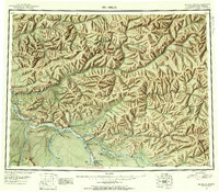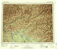
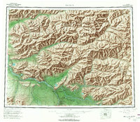
1958 Map of Big Delta
USGS Topo · Published 1977About this map
Big Delta and Delta Junction anchor the southern portion of this interior landscape, marking the critical junction where the Richardson Highway meets the massive Tanana River system. The map reflects a mid-century period of strategic military and industrial expansion, dominated by the Fort Greely Military Reservation and the corridor for The Trans-Alaska Pipeline. These modern infrastructures contrast with traditional sites like Indian Village near Healy Lake, illustrating the layering of indigenous geography with Cold War-era defense and energy developments.
Find a feature on this map
60 named features on this map. Tap any name to fly to it.
Don’t see what you’re looking for? This feature index may not catch every label — zoom into the map to look around manually.
Map Details
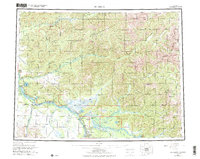
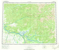
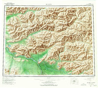
Editions of this 1958 Big Delta Map
6 editions found
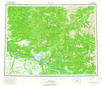
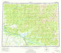
Historical Maps of Delta Junction Through Time
3 maps found