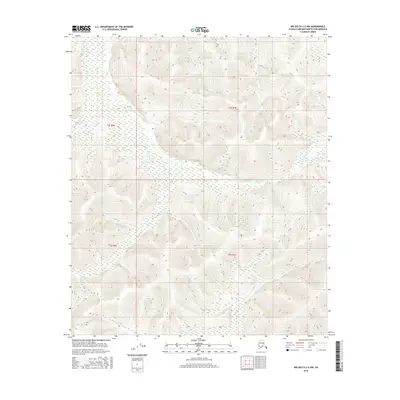
2016 Map of Big Delta C-5 NW
USGS Topo · Published 2016About this map
The S Fork Chena River winds through the interior landscape of the Fairbanks North Star Borough, where several smaller tributaries converge. This 2016 survey highlights a remote and mountainous portion of the Big Delta C-5 NW Quadrangle, largely defined by the drainage basins of Emory Cr, Pine Cr, and Stuart Cr. The intricate network of ridgelines and creek beds illustrates the complex topography south of the river fork, where natural drainage patterns dictate the shape of the land. In this part of Alaska, the map reveals a wilderness environment characterized by these specific watercourses, showing the primary geographic landmarks before any significant human development has altered the terrain within the township boundaries of t2s r6e and t3s r7e.
Find a feature on this map
8 named features on this map. Tap any name to fly to it.
Don’t see what you’re looking for? This feature index may not catch every label — zoom into the map to look around manually.
Map Details
Editions of this 2016 Big Delta C-5 NW Map
This is the sole edition of this map. No revisions or reprints were ever made.
Other maps of this area

1949 · Big Delta C-6
USGS Topo · 1:63,360

1950 · Big Delta
USGS Topo · 1:250,000

1950 · Big Delta D-6
USGS Topo · 1:63,360

1951 · Big Delta
USGS Topo · 1:250,000

1952 · Big Delta C-6
USGS Topo · 1:63,360

1952 · Big Delta D-6
USGS Topo · 1:63,360

1958 · Big Delta C-5
USGS Topo · 1:63,360

1958 · Big Delta D-5
USGS Topo · 1:63,360

1958 · Big Delta
USGS Topo · 1:250,000
2016 · Big Delta C-5 NE
USGS Topo · 1:25,000