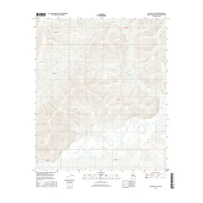
2016 Map of Big Delta C-5 SW
USGS Topo · Published 2016About this map
The Salcha River dominates the lower third of this interior Alaska quadrangle, carving a wide, braided path through a valley defined by expansive wetlands and riparian sloughs. The river system is supported by several local tributaries, including McCoy Cr and Twentyfive Mile Cr, which drain the higher elevations to the north. These northern sections are characterized by steep, undeveloped ridges where seasonal drainages like Ninetyeight Cr have cut deep into the terrain. Toward the southeast, the landscape opens into Koepke Slough, part of a complex hydrologic network typical of the Fairbanks North Star Borough's river corridors. The absence of roads or permanent settlements in this 2016 survey emphasizes the area's role as a pristine wilderness environment, where the land's character is shaped entirely by the movement of water and the shift of the seasons.
Find a feature on this map
11 named features on this map. Tap any name to fly to it.
Don’t see what you’re looking for? This feature index may not catch every label — zoom into the map to look around manually.
Map Details
Editions of this 2016 Big Delta C-5 SW Map
This is the sole edition of this map. No revisions or reprints were ever made.
Other maps of this area

1949 · Big Delta B-5
USGS Topo · 1:63,360

1949 · Big Delta B-6
USGS Topo · 1:63,360

1949 · Big Delta C-6
USGS Topo · 1:63,360

1950 · Big Delta
USGS Topo · 1:250,000

1951 · Big Delta
USGS Topo · 1:250,000

1952 · Big Delta C-6
USGS Topo · 1:63,360

1952 · Big Delta B-6
USGS Topo · 1:63,360

1952 · Big Delta B-5
USGS Topo · 1:63,360

1958 · Big Delta C-5
USGS Topo · 1:63,360

1958 · Big Delta
USGS Topo · 1:250,000