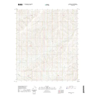
2021 Map of Big Delta C-6 SE
USGS Topo · Published 2021About this map
The Little Salcha River meanders across this interior Alaskan landscape, which is defined by significant infrastructure and remote terrain within the Fairbanks North Star Borough. The southern edge of the map features a critical piece of modern engineering, the Alaska Pipeline, which traverses the hillsides north of the river. This corridor represents the industrial development that characterizes much of the region's recent history. Nearby, Johnson Road provides one of the few established access points into the high ground above the drainage basins of French Cr and Ninetyeight Cr. The map illustrates a transition from the lower river valleys into the steep, unnamed ridges that separate these local waterways, showing the specific township and range lines that govern land division in this part of the state.
Find a feature on this map
11 named features on this map. Tap any name to fly to it.
Don’t see what you’re looking for? This feature index may not catch every label — zoom into the map to look around manually.
Map Details
Editions of this 2021 Big Delta C-6 SE Map
This is the sole edition of this map. No revisions or reprints were ever made.
Other maps of this area

1949 · Big Delta B-5
USGS Topo · 1:63,360

1949 · Big Delta B-6
USGS Topo · 1:63,360

1949 · Big Delta C-6
USGS Topo · 1:63,360

1950 · Big Delta
USGS Topo · 1:250,000

1951 · Big Delta
USGS Topo · 1:250,000

1952 · Big Delta C-6
USGS Topo · 1:63,360

1952 · Big Delta B-6
USGS Topo · 1:63,360

1952 · Big Delta B-5
USGS Topo · 1:63,360

1958 · Big Delta C-5
USGS Topo · 1:63,360

1958 · Big Delta
USGS Topo · 1:250,000