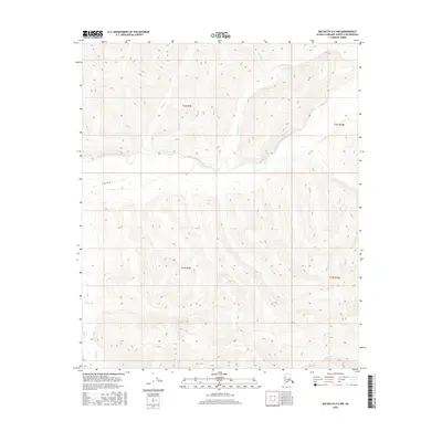
2016 Map of Big Delta D-4 NW
USGS Topo · Published 2016About this map
The Middle Fork Chena River winds through this interior Alaskan wilderness, serving as the central drainage for a network of tributary creeks. The landscape is defined by its dramatic relief and intricate waterway system, including northern flows like Wolverine Cr and Ottertail Cr, which join the river from the high country. To the south, Munson Cr and Wheeler Cr drain the higher elevations, illustrating the complex hydrology of the Fairbanks North Star region. A single transportation corridor, E Fork Winter, appears on the map, suggesting the seasonal nature of movement in this remote territory. This 2016 survey by the U.S. Geological Survey provides a precise view of the topography before any modern developments altered these drainage patterns, offering a clear reference for those studying the natural history of the Chena River basin.
Find a feature on this map
12 named features on this map. Tap any name to fly to it.
Don’t see what you’re looking for? This feature index may not catch every label — zoom into the map to look around manually.
Map Details
Editions of this 2016 Big Delta D-4 NW Map
This is the sole edition of this map. No revisions or reprints were ever made.
Other maps of this area

1950 · Big Delta
USGS Topo · 1:250,000

1951 · Big Delta
USGS Topo · 1:250,000

1951 · Circle
USGS Topo · 1:250,000

1951 · Circle A-5
USGS Topo · 1:63,360

1952 · Circle A-4
USGS Topo · 1:63,360

1952 · Circle A-5
USGS Topo · 1:63,360

1954 · Circle A-5
USGS Topo · 1:63,360

1955 · Circle
USGS Topo · 1:250,000

1958 · Big Delta D-5
USGS Topo · 1:63,360

1958 · Big Delta D-4
USGS Topo · 1:63,360