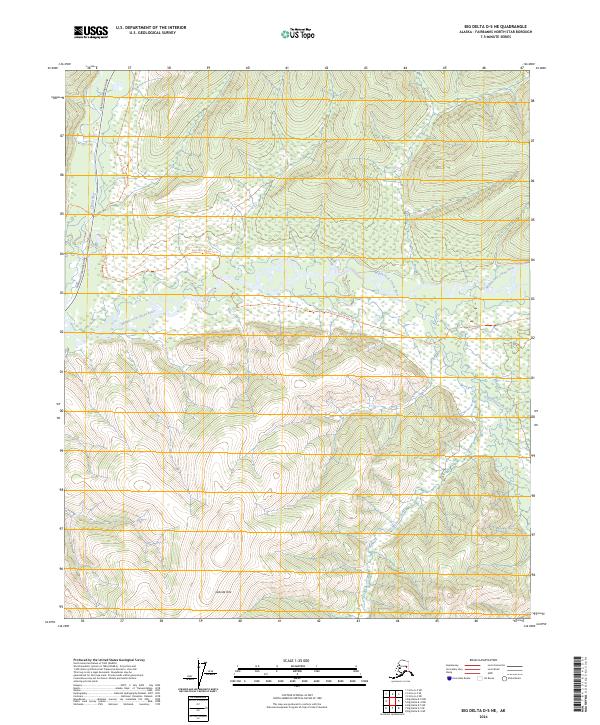
2024 Map of Big Delta D-5 NE
USGS Topo · Published 2024About this map
Granite Tors stands as a prominent geological landmark in this interior Alaskan wilderness, situated south of the sprawling river valley. The landscape is defined by the complex drainage of the Chena River system, including the winding course of the Middle Fork Chena River and its southern tributaries like Little Munson Creek. The northern portion of the map is accessible via Chena Hot Springs Road, which follows the river's path through the valley floor.
Find a feature on this map
13 named features on this map. Tap any name to fly to it.
Don’t see what you’re looking for? This feature index may not catch every label — zoom into the map to look around manually.
Map Details
Editions of this 2024 Big Delta D-5 NE Map
This is the sole edition of this map. No revisions or reprints were ever made.
Other maps of this area

1950 · Big Delta
USGS Topo · 1:250,000

1951 · Big Delta
USGS Topo · 1:250,000

1951 · Circle
USGS Topo · 1:250,000

1951 · Circle A-5
USGS Topo · 1:63,360

1952 · Circle A-4
USGS Topo · 1:63,360

1952 · Circle A-5
USGS Topo · 1:63,360

1954 · Circle A-5
USGS Topo · 1:63,360

1955 · Circle
USGS Topo · 1:250,000

1958 · Big Delta D-5
USGS Topo · 1:63,360

1958 · Big Delta D-4
USGS Topo · 1:63,360