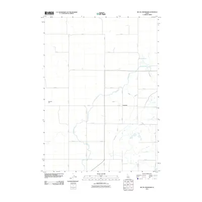
2010 Map of Big Fill Reservoir
USGS Topo · Published 2010About this map
Grandview sits at the heart of this high-desert agricultural landscape, where an intricate network of irrigation systems defines the local economy and geography. The Highline Canal and Low Line Canal snake across the terrain, supplemented by numerous numbered laterals like Lateral E and Lateral F 1 that distribute water to the surrounding fields. This system of water management is anchored by the Big Fill Reservoir, a crucial piece of infrastructure that allows for farming in the arid region near Ryegrass Flat. The map reveals a rigid section-line road grid, including S 2600 W and W 1000 S, which dictates the layout of homesteads and acreage. This layout illustrates the early 21st-century state of Idaho's managed water landscapes, showing how essential these engineered waterways are to the survival and organization of the community.
Find a feature on this map
23 named features on this map. Tap any name to fly to it.
Don’t see what you’re looking for? This feature index may not catch every label — zoom into the map to look around manually.
Map Details
Editions of this 2010 Big Fill Reservoir Map
This is the sole edition of this map. No revisions or reprints were ever made.
Other maps of this area

1934 · American Falls
USGS Topo · 1:62,500

1934 · Michaud
USGS Topo · 1:62,500

1936 · American Falls
USGS Topo · 1:62,500

1937 · Michaud
USGS Topo · 1:62,500

1954 · Pocatello
USGS Topo · 1:250,000

1955 · Springfield NW
USGS Topo · 1:24,000

1955 · Springfield
USGS Topo · 1:24,000

1955 · Idaho Falls
USGS Topo · 1:250,000

1958 · Idaho Falls
USGS Topo · 1:250,000

1958 · Pocatello
USGS Topo · 1:250,000