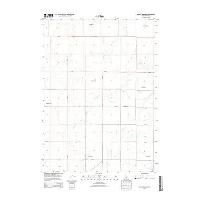
2013 Map of Big Fill Reservoir
USGS Topo · Published 2013About this map
Grandview sits at the heart of this agricultural landscape in Bingham County, where a complex network of irrigation infrastructure dictates the pattern of settlement. The 2013 survey illustrates how the high desert is transformed through an intricate system of waterways, including the Highline Canal and the Low Line Canal. These primary arteries feed numerous smaller channels like Lateral 46, Lateral E, and Lateral F 1, which partition the land into productive farm plots.
Find a feature on this map
34 named features on this map. Tap any name to fly to it.
Don’t see what you’re looking for? This feature index may not catch every label — zoom into the map to look around manually.
Map Details
Editions of this 2013 Big Fill Reservoir Map
This is the sole edition of this map. No revisions or reprints were ever made.
Other maps of this area

1934 · American Falls
USGS Topo · 1:62,500

1934 · Michaud
USGS Topo · 1:62,500

1936 · American Falls
USGS Topo · 1:62,500

1937 · Michaud
USGS Topo · 1:62,500

1954 · Pocatello
USGS Topo · 1:250,000

1955 · Springfield NW
USGS Topo · 1:24,000

1955 · Springfield
USGS Topo · 1:24,000

1955 · Idaho Falls
USGS Topo · 1:250,000

1958 · Idaho Falls
USGS Topo · 1:250,000

1958 · Pocatello
USGS Topo · 1:250,000