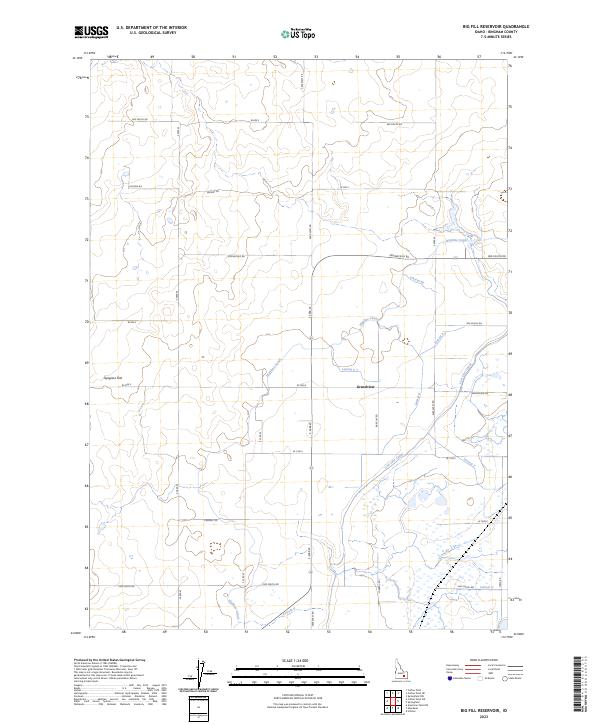
2023 Map of Big Fill Reservoir
USGS Topo · Published 2023About this map
Bingham County agriculture and irrigation define this landscape in the Snake River Plain, where an intricate network of artificial waterways sustains the high desert. The small community of Grandview serves as a central point for a vast system of ditches and laterals, including the prominent Highline Canal and Low Line Canal. These engineered watercourses follow the subtle contours of the terrain, crossing through Ryegrass Flat and supporting numerous agricultural parcels. The regularity of the section lines and the naming of roads like Springfield Rd and Grandview Rd suggest a highly organized rural settlement pattern dependent on the reliability of the canal system. Smaller distributaries such as Lateral 46 and Lateral E 1 branch off to serve individual fields, illustrating the technical complexity of water management in this portion of Idaho.
Find a feature on this map
32 named features on this map. Tap any name to fly to it.
Don’t see what you’re looking for? This feature index may not catch every label — zoom into the map to look around manually.
Map Details
Editions of this 2023 Big Fill Reservoir Map
This is the sole edition of this map. No revisions or reprints were ever made.
Historical Maps of Grandview Through Time
71 maps found
1917 Cranes Flat
Bingham County, ID
1918 Paradise Valley
Bingham County, ID

1950 Goshen
Bingham County, ID
1951 Higham Peak
Bingham County, ID

1952 Goshen
Bingham County, ID
1955 Baldy Knoll
Bingham County, ID
1955 Lincoln Creek
Bingham County, ID
1955 Pingree
Bingham County, ID
1955 Rose
Bingham County, ID
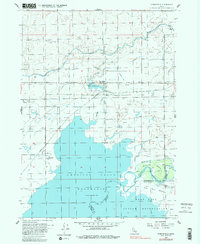
1955 Springfield
Bingham County, ID
1955 Springfield NW
Bingham County, ID

1955 Yandell Springs
Bingham County, ID
1963 Bone
Bingham County, ID

1971 American Falls NW
Bingham County, ID
1971 Buckskin Basin
Bingham County, ID
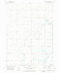
1973 Big Fill Reservoir
Bingham County, ID
1973 Coffee Point
Bingham County, ID

1973 Coffee Point NE
Bingham County, ID
1973 Coffee Point SW
Bingham County, ID

1973 Lava Lake Reservoir
Bingham County, ID

1973 Little Butte
Bingham County, ID

1973 Little Butte SW
Bingham County, ID

1973 Middle Butte
Bingham County, ID

1973 Olsen
Bingham County, ID

1973 Rock Butte
Bingham County, ID

1973 Taber
Bingham County, ID

1973 Taber NE
Bingham County, ID
1981 Dunn Basin
Bingham County, ID
1981 Lincoln Peak
Bingham County, ID
1981 Long Valley
Bingham County, ID
1981 Meadow Creek Mtn
Bingham County, ID
1981 Miner Creek
Bingham County, ID
1981 Paradise Valley
Bingham County, ID
1981 Poison Creek
Bingham County, ID
1981 Wolverine
Bingham County, ID
1981 Yandell Springs
Bingham County, ID
1998 Goshen
Bingham County, ID
1998 Higham Peak
Bingham County, ID
1998 Lincoln Creek
Bingham County, ID
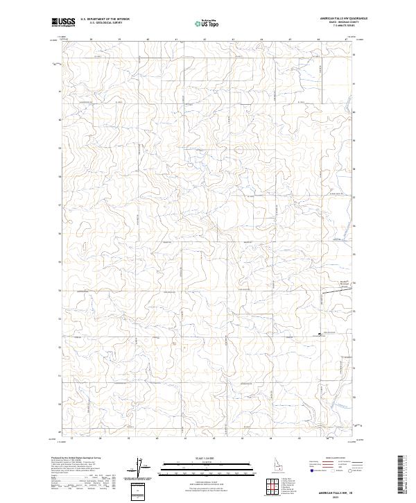
2023 American Falls NW
Bingham County, ID
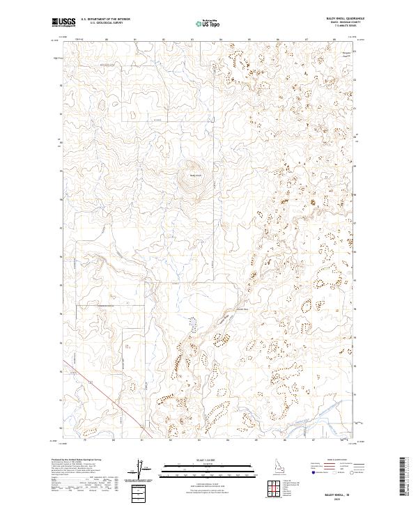
2023 Baldy Knoll
Bingham County, ID
2023 Big Fill Reservoir
Bingham County, ID
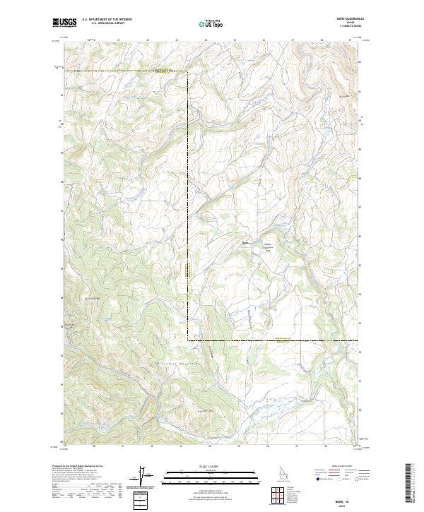
2023 Bone
Bingham County, ID
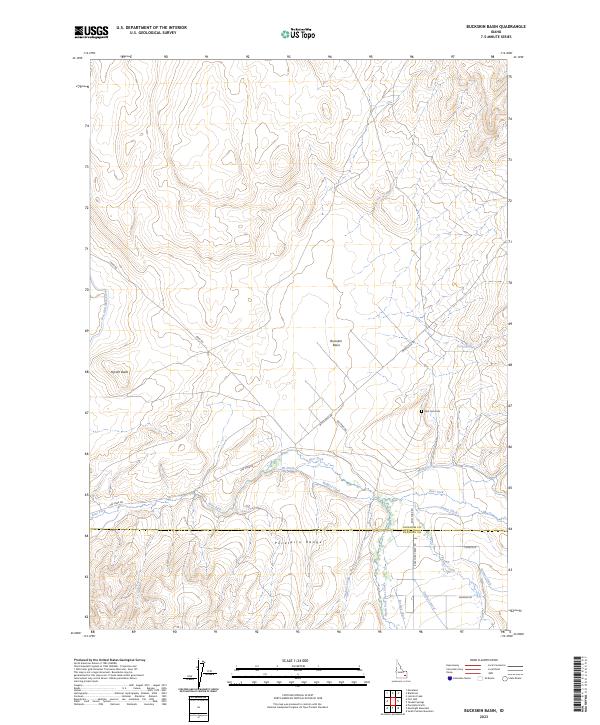
2023 Buckskin Basin
Bingham County, ID
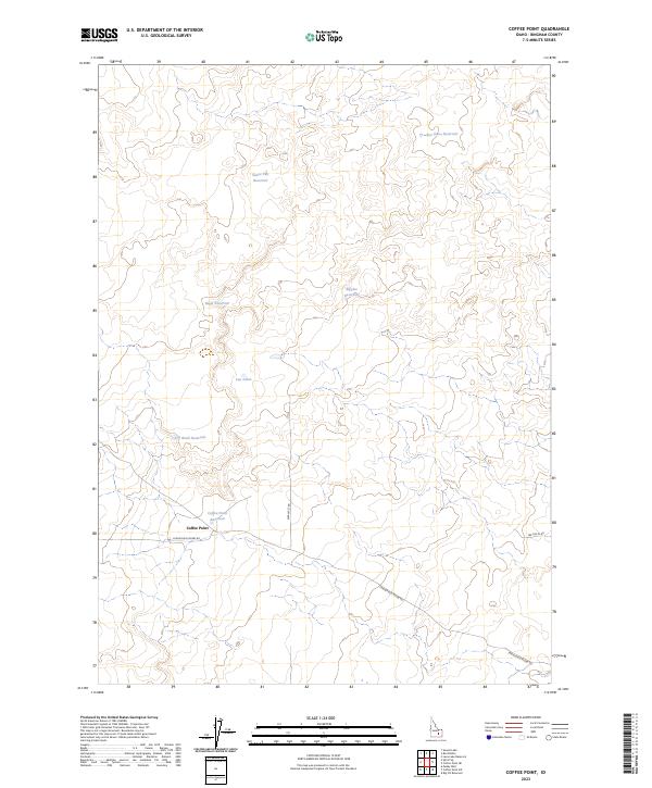
2023 Coffee Point
Bingham County, ID
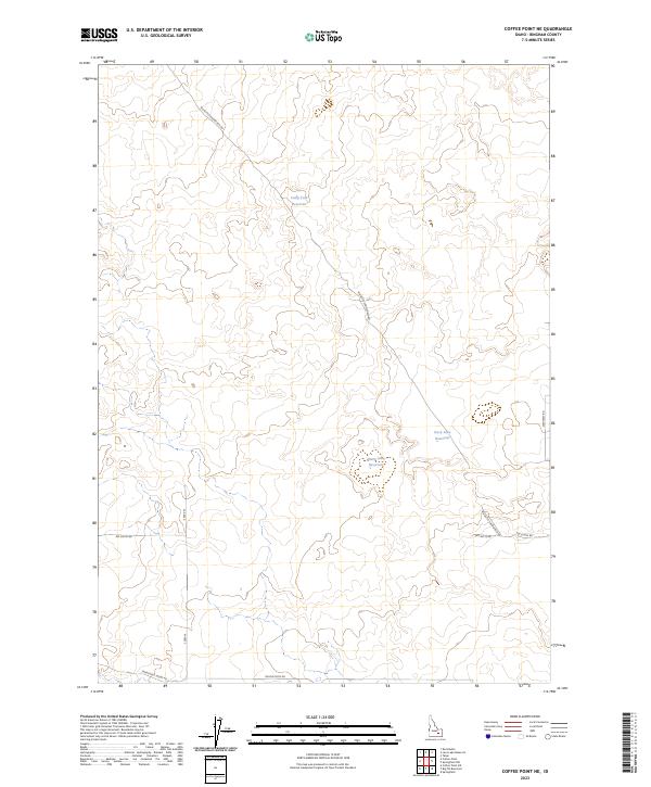
2023 Coffee Point NE
Bingham County, ID
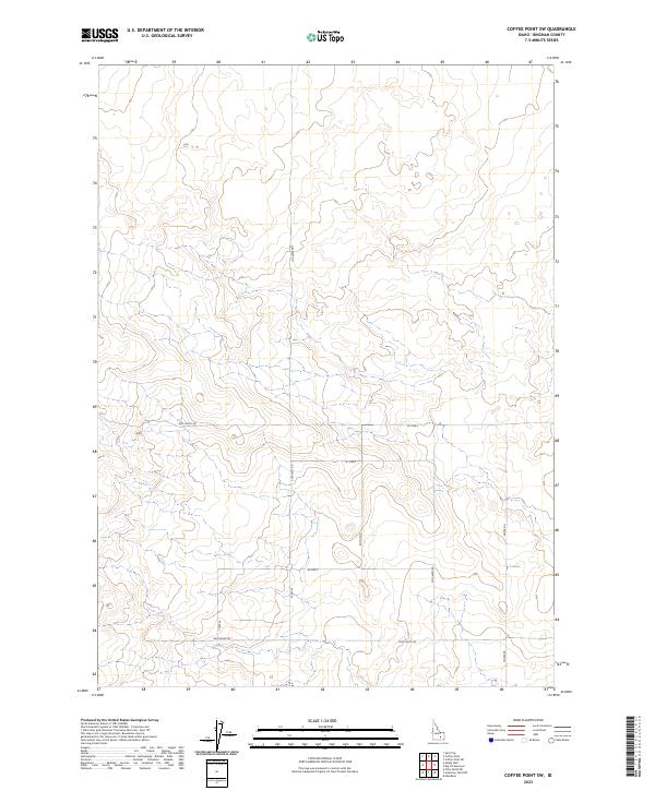
2023 Coffee Point SW
Bingham County, ID
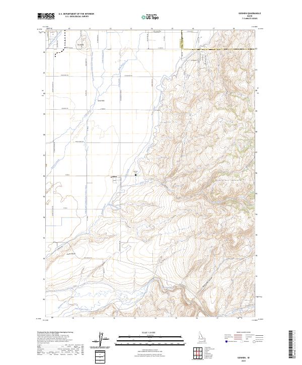
2023 Goshen
Bingham County, ID
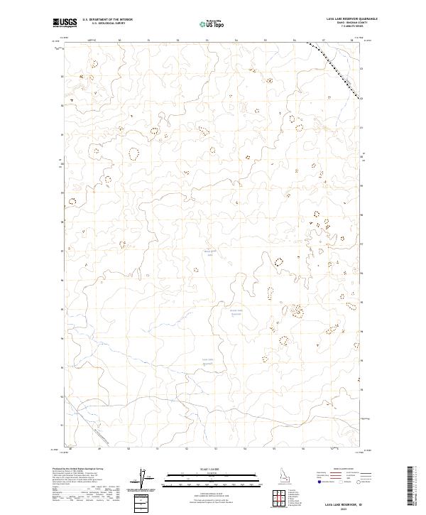
2023 Lava Lake Reservoir
Bingham County, ID
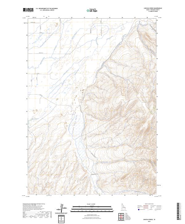
2023 Lincoln Creek
Bingham County, ID
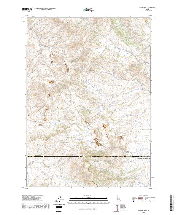
2023 Lincoln Peak
Bingham County, ID
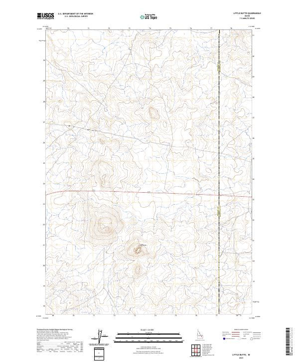
2023 Little Butte
Bingham County, ID
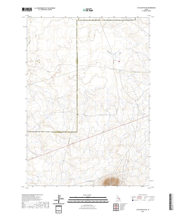
2023 Little Butte SW
Bingham County, ID
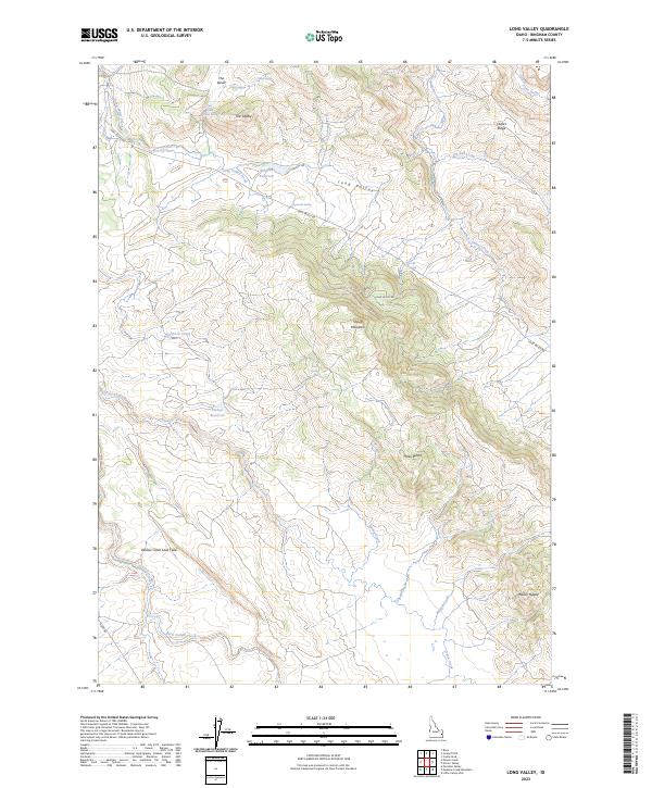
2023 Long Valley
Bingham County, ID
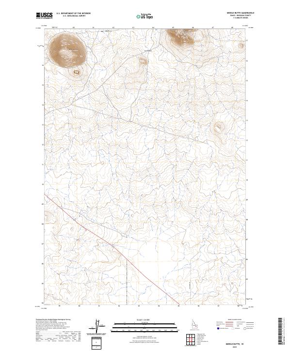
2023 Middle Butte
Bingham County, ID
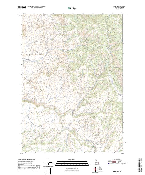
2023 Miner Creek
Bingham County, ID
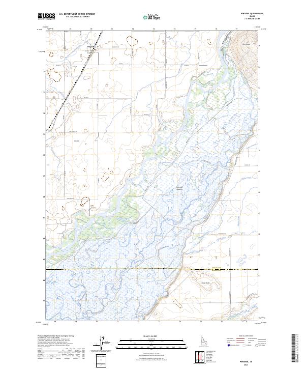
2023 Pingree
Bingham County, ID
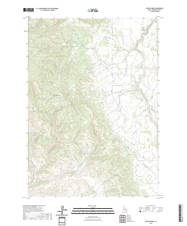
2023 Poison Creek
Bingham County, ID
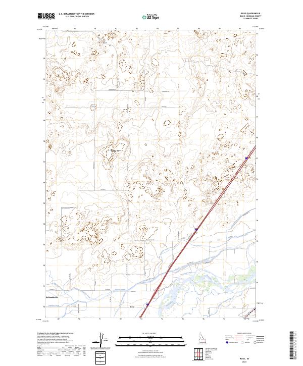
2023 Rose
Bingham County, ID
2023 Springfield NW
Bingham County, ID
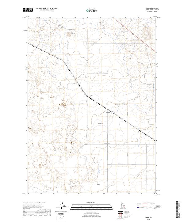
2023 Taber
Bingham County, ID
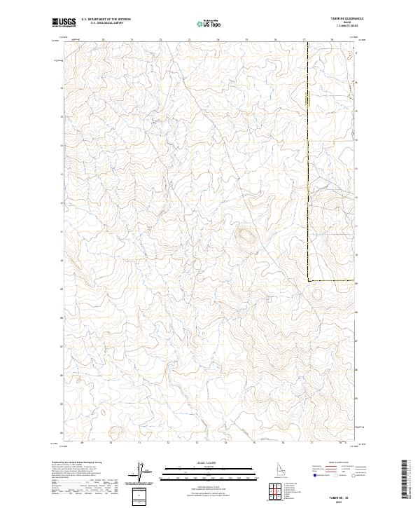
2023 Taber NE
Bingham County, ID
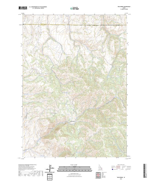
2023 Wolverine
Bingham County, ID
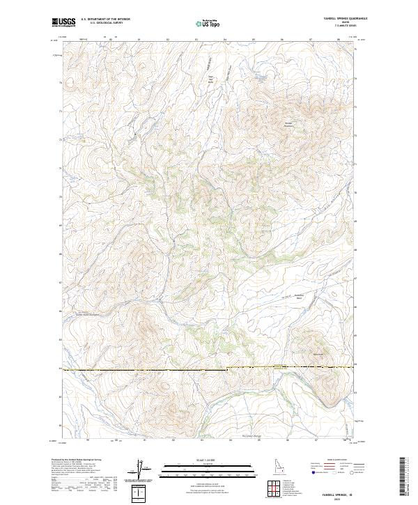
2023 Yandell Springs
Bingham County, ID
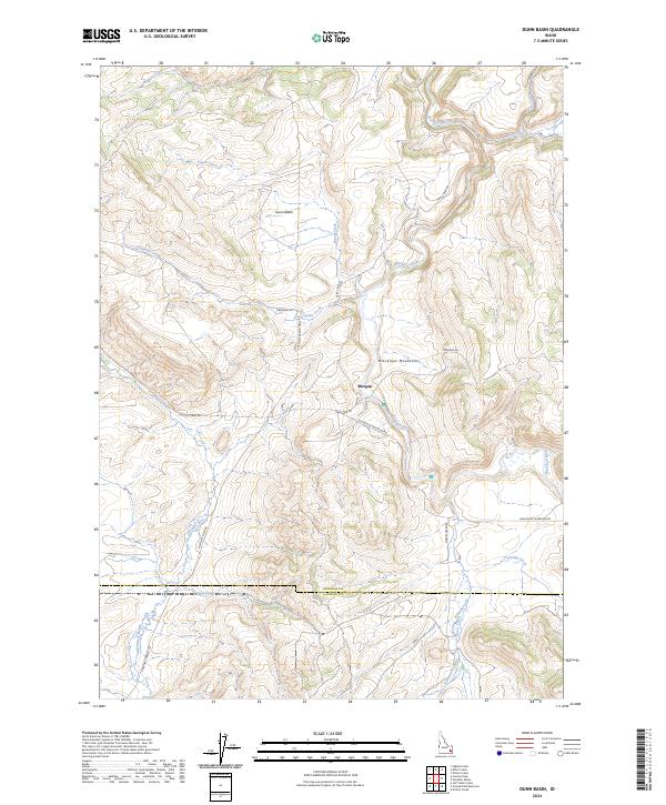
2024 Dunn Basin
Bingham County, ID
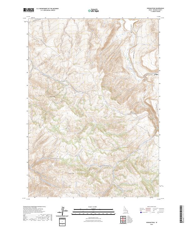
2024 Higham Peak
Bingham County, ID
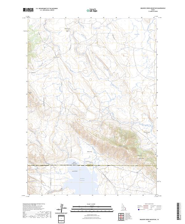
2024 Meadow Creek Mountain
Bingham County, ID
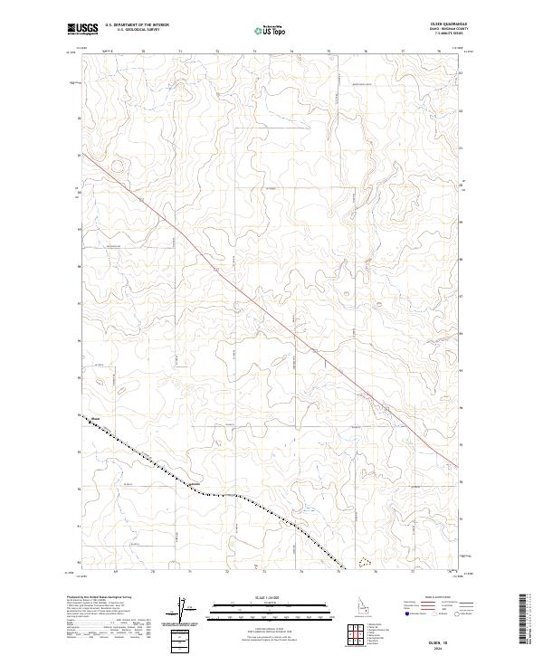
2024 Olsen
Bingham County, ID
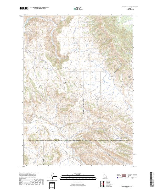
2024 Paradise Valley
Bingham County, ID
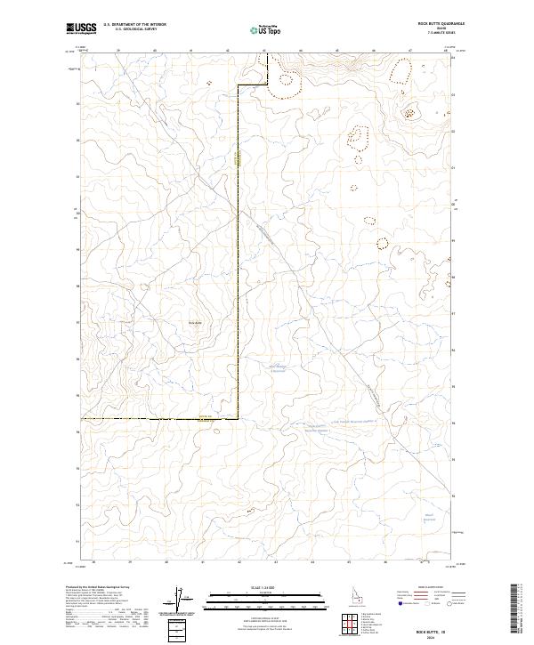
2024 Rock Butte
Bingham County, ID
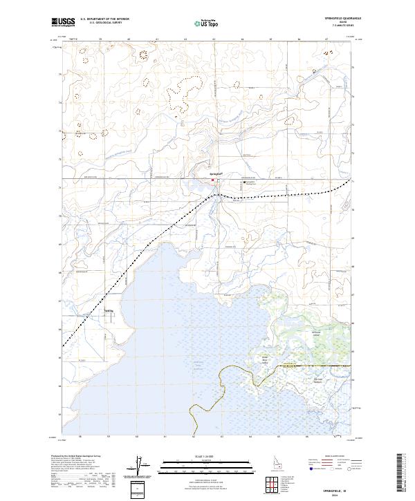
2024 Springfield
Bingham County, ID