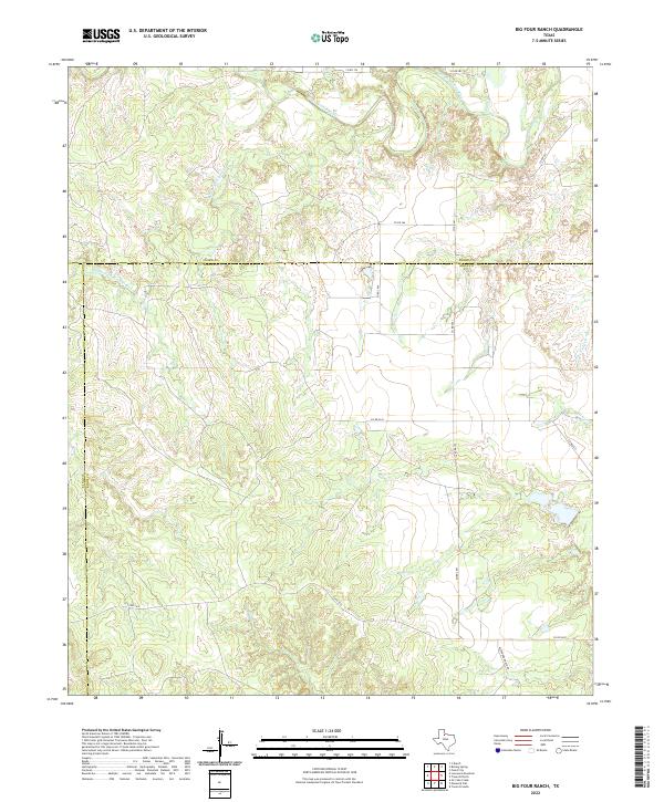
2022 Map of Big Four Ranch
USGS Topo · Published 2022About this map
The North Wichita River and the Middle Fork Wichita River converge in this corner of North Texas, carving a complex network of draws and creek beds through the landscape. This 2022 survey captures the modern rural geography where Knox, Foard, and King counties meet, an area defined by large-scale ranching operations and minimal residential density. The terrain is marked by seasonal drainages such as Good Cr and Buffalo Cr, which feed into the primary river forks.
Find a feature on this map
17 named features on this map. Tap any name to fly to it.
Don’t see what you’re looking for? This feature index may not catch every label — zoom into the map to look around manually.
Map Details
Editions of this 2022 Big Four Ranch Map
This is the sole edition of this map. No revisions or reprints were ever made.
Other maps of this area

1954 · Lubbock
USGS Topo · 1:250,000

1954 · Wichita Falls
USGS Topo · 1:250,000

1958 · Wichita Falls
USGS Topo · 1:250,000

1966 · Truscott North
USGS Topo · 1:24,000

1966 · Truscott South
USGS Topo · 1:24,000

1966 · Ox Yoke Creek
USGS Topo · 1:24,000

1966 · Big Four Ranch
USGS Topo · 1:24,000

1966 · Maverick Flat
USGS Topo · 1:24,000

1966 · Lowrance Mountain
USGS Topo · 1:24,000

1968 · Y Ranch
USGS Topo · 1:24,000