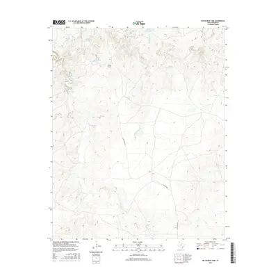
2016 Map of Big George Tank
USGS Topo · Published 2016About this map
Big George Tank and several other water management features dominate this high plains landscape of northwestern Oldham County. The map details a cattle-ranching environment where life revolves around isolated water sources like Joaquin Springs and the eponymous George Spring Tank. The drainage patterns of George Canyon and Rock Springs Cr carve through the terrain, leading toward Bluff Cr in the south. The reliance on artificial tanks and named natural springs such as Cheyenne Spring and Rock Springs highlights the arid character of the Texas Panhandle. Transportation is minimal, defined primarily by the E Main Ranch Rd, which provides the primary access route across these wide-open private ranch lands. This survey offers a precise record of water infrastructure, from the Big Red Tank to the Little Red Tank, essential for modern ranching operations in the region.
Find a feature on this map
16 named features on this map. Tap any name to fly to it.
Don’t see what you’re looking for? This feature index may not catch every label — zoom into the map to look around manually.
Map Details
Editions of this 2016 Big George Tank Map
This is the sole edition of this map. No revisions or reprints were ever made.
Other maps of this area

1954 · Tucumcari
USGS Topo · 1:250,000

1958 · Tucumcari
USGS Topo · 1:250,000

1966 · Alamocitos Camp
USGS Topo · 1:24,000

1966 · Adrian
USGS Topo · 1:24,000

1966 · Signal Spring SE
USGS Topo · 1:24,000

1966 · Big George Tank
USGS Topo · 1:24,000

1966 · Landergin
USGS Topo · 1:24,000

1966 · Vat Camp
USGS Topo · 1:24,000

1971 · Romero SE
USGS Topo · 1:24,000

1971 · Many Post Camp
USGS Topo · 1:24,000