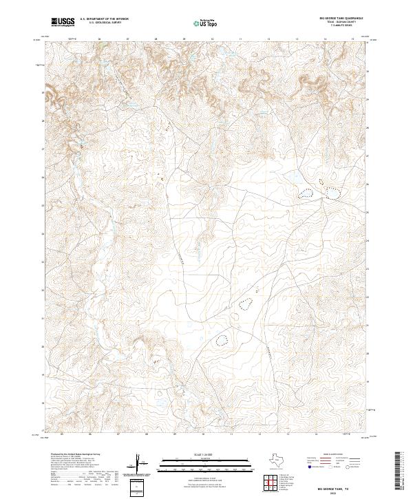
2022 Map of Big George Tank
USGS Topo · Published 2022About this map
Water management defines this landscape in northwestern Texas, where a network of springs and man-made tanks supports ranching in an arid environment. The drainage of George Canyon leads toward Big George Tank and George Spring Tank in the north, while the southern reaches are dominated by the winding paths of Las Arches Cr and Bluff Cr.
Find a feature on this map
15 named features on this map. Tap any name to fly to it.
Don’t see what you’re looking for? This feature index may not catch every label — zoom into the map to look around manually.
Map Details
Editions of this 2022 Big George Tank Map
This is the sole edition of this map. No revisions or reprints were ever made.
Other maps of this area

1954 · Tucumcari
USGS Topo · 1:250,000

1958 · Tucumcari
USGS Topo · 1:250,000

1966 · Alamocitos Camp
USGS Topo · 1:24,000

1966 · Adrian
USGS Topo · 1:24,000

1966 · Signal Spring SE
USGS Topo · 1:24,000

1966 · Big George Tank
USGS Topo · 1:24,000

1966 · Landergin
USGS Topo · 1:24,000

1966 · Vat Camp
USGS Topo · 1:24,000

1971 · Romero SE
USGS Topo · 1:24,000

1971 · Many Post Camp
USGS Topo · 1:24,000