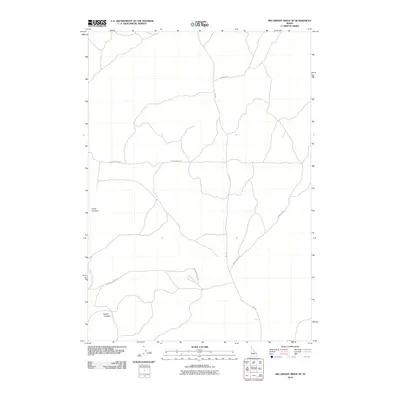
2010 Map of Big Grassy Ridge SE
USGS Topo · Published 2010About this map
North Junipers and South Junipers anchor the geography of this Fremont County landscape, where the high desert terrain is defined more by its routes than by permanent settlements. The map illustrates a network of functional roads vital to the local livestock and ranching economy, such as the Siddoway Sheep Rd, which traces a path across the southern portion of the quadrangle. Other thoroughfares like Grassy Ridge Rd and Red Rd intersect the open country, providing essential access through this expansive region. The presence of Sand Dune Rd in the east suggests the proximity of shifting geological features, while the lack of dense structures highlights the area's role as a vast rangeland used for seasonal movement and resource management in the early 21st century.
Find a feature on this map
7 named features on this map. Tap any name to fly to it.
Don’t see what you’re looking for? This feature index may not catch every label — zoom into the map to look around manually.
Map Details
Editions of this 2010 Big Grassy Ridge SE Map
This is the sole edition of this map. No revisions or reprints were ever made.
Other maps of this area

1948 · Parker
USGS Topo · 1:24,000

1950 · Parker
USGS Topo · 1:24,000

1950 · St Anthony
USGS Topo · 1:24,000

1951 · Plano
USGS Topo · 1:24,000

1955 · Ashton
USGS Topo · 1:250,000

1955 · Driggs
USGS Topo · 1:250,000

1958 · Driggs
USGS Topo · 1:250,000

1958 · Ashton
USGS Topo · 1:250,000

1960 · Ashton
USGS Topo · 1:250,000

1962 · Driggs
USGS Topo · 1:250,000