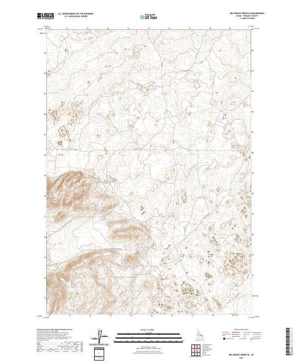
2023 Map of Big Grassy Ridge SE
USGS Topo · Published 2023About this map
North Junipers and South Junipers define the high-altitude landscape of this section of Fremont County, where the terrain is dominated by significant volcanic and sand-based formations. This 2023 survey by the U.S. Geological Survey documents a sparse network of service and range roads used for land management and agricultural access, including the descriptive Grassy Ridge Rd and Sand Dune Rd. The prominent topographic features of the Juniper Buttes rise above the surrounding plateaus, providing a clear reference for the high desert environment. The network of tracks such as Siddoway Sheep Rd reflects the area's continued use for livestock grazing and rural transit in the modern era.
Find a feature on this map
13 named features on this map. Tap any name to fly to it.
Don’t see what you’re looking for? This feature index may not catch every label — zoom into the map to look around manually.
Map Details
Editions of this 2023 Big Grassy Ridge SE Map
This is the sole edition of this map. No revisions or reprints were ever made.
Other maps of this area

1948 · Parker
USGS Topo · 1:24,000

1950 · Parker
USGS Topo · 1:24,000

1950 · St Anthony
USGS Topo · 1:24,000

1951 · Plano
USGS Topo · 1:24,000

1955 · Ashton
USGS Topo · 1:250,000

1955 · Driggs
USGS Topo · 1:250,000

1958 · Driggs
USGS Topo · 1:250,000

1958 · Ashton
USGS Topo · 1:250,000

1960 · Ashton
USGS Topo · 1:250,000

1962 · Driggs
USGS Topo · 1:250,000