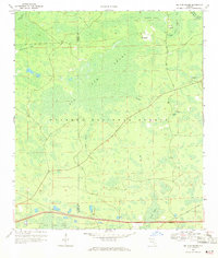
1969 Map of Big Gum Swamp
USGS Topo · Published 1971About this map
The Osceola National Forest dominates this North Florida landscape, defining a region characterized by extensive wetlands and isolated higher ground. In the late 1960s, this area on the border of Columbia and Baker Counties remained largely undeveloped, with human activity concentrated at Seventeenmile Camp and along the Camp Seventeenmile Road. The intricate hydrology of the region is evident in the transition from the large expanse of Big Gum Swamp to the headwaters of the St Marys River and its Middle Prong. Named landmarks like Impassable Bay, Buckhead Swamp, and Big Island suggest a terrain that dictated both movement and settlement patterns. To the south, the presence of Rest Areas near the modern highway corridor contrasts with the primitive tracks like Pony Dobson Road that penetrate the forest interior.
Find a feature on this map
19 named features on this map. Tap any name to fly to it.
Don’t see what you’re looking for? This feature index may not catch every label — zoom into the map to look around manually.
Map Details
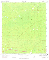
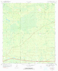
Editions of this 1969 Big Gum Swamp Map
3 editions found
Other maps of this area

1954 · Valdosta
USGS Topo · 1:250,000

1958 · Valdosta
USGS Topo · 1:250,000

1959 · Valdosta
USGS Topo · 1:250,000

1961 · Deep Creek
USGS Topo · 1:24,000

1962 · Lake City East
USGS Topo · 1:24,000

1963 · Olustee
USGS Topo · 1:24,000

1963 · Sanderson South
USGS Topo · 1:24,000

1969 · Sanderson NW
USGS Topo · 1:24,000

1969 · Sanderson North
USGS Topo · 1:24,000
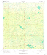
1969 · Fairview
USGS Topo · 1:24,000