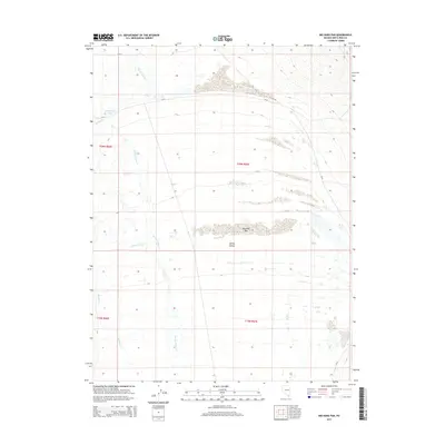
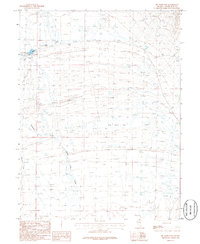
2014 Map of Big Hard Pan
USGS Topo · Published 2014About this map
Spring Valley dominates this 2014 survey, a high-altitude basin characterized by ephemeral drainage patterns and distinct arid landforms. The map identifies the Big Hard Pan, an expansive dry lake bed or playa that serves as a focal point for the region's topography. Water features are seasonal and highly localized, including Dust Bowl Lake near the western edge and several intermittent streams like Spring Valley Cr, Meadow Cr, and Muncy Cr. The landscape is largely defined by these hydrological markers and the remote CR-37 corridor, illustrating the basin's sparse settlement and its reliance on natural landmarks for navigation in the eastern Nevada desert.
Find a feature on this map
12 named features on this map. Tap any name to fly to it.
Don’t see what you’re looking for? This feature index may not catch every label — zoom into the map to look around manually.
Map Details
Editions of this 2014 Big Hard Pan Map
This is the sole edition of this map. No revisions or reprints were ever made.
Other maps of this area

1952 · Ely
USGS Topo · 1:125,000

1956 · Ely
USGS Topo · 1:250,000

1959 · Ely
USGS Topo · 1:250,000

1959 · Schell Peaks
USGS Topo · 1:62,500

1963 · Ely
USGS Topo · 1:250,000

1981 · North Schell Peak
USGS Topo · 1:24,000
1982 · Kalamazoo Creek
USGS Topo · 1:24,000
1982 · Silver Canyon
USGS Topo · 1:24,000
1986 · Third Butte West
USGS Topo · 1:24,000
1986 · Big Hard Pan
USGS Topo · 1:24,000