
1981 Map of North Schell Peak
USGS Topo · Published 1981About this map
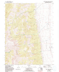
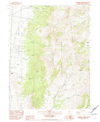
North Schell Peak dominates the western half of this landscape, marking a high point in the Schell Creek Range within the Humboldt National Forest. Below the high ridges, a system of drainages including Piermont Creek and Little Negro Creek flow eastward toward the wide expanse of Spring Valley. This 1981 record captures the intersection of high-altitude wilderness and valley-floor ranching, with the Bassett Ranch and Home Ranch situated near the valley's edge. Evidence of the area's earlier mining and pioneer activity is preserved at the Piermont (Historic Site), where a Grave and multiple Prospects remain near the creek. The transition from the steep forest boundary to the valley floor is further marked by a small Landing Strip and an aqueduct, illustrating how the desert basin's water and terrain were managed for livestock and small-scale habitation.
Find a feature on this map
27 named features on this map. Tap any name to fly to it.
Don’t see what you’re looking for? This feature index may not catch every label — zoom into the map to look around manually.
Map Details
Editions of this 1981 North Schell Peak Map
2 editions found
Other maps of this area

1952 · Ely
USGS Topo · 1:125,000

1956 · Ely
USGS Topo · 1:250,000

1959 · Ely
USGS Topo · 1:250,000

1959 · Schell Peaks
USGS Topo · 1:62,500

1963 · Ely
USGS Topo · 1:250,000

1981 · Duck Creek Valley
USGS Topo · 1:24,000
1981 · South Schell Peak
USGS Topo · 1:24,000
1981 · Cleve Creek Baldy
USGS Topo · 1:24,000
1982 · Kalamazoo Creek
USGS Topo · 1:24,000
1982 · Kalamazoo Summit
USGS Topo · 1:24,000