
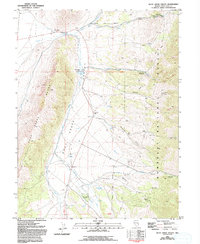
1981 Map of Duck Creek Valley
USGS Topo · Published 1981About this map
Duck Creek Valley serves as a central corridor for water and transit through this portion of eastern Nevada during the late 1970s and early 1980s. Following the western edge of the valley, U.S. 93 bypasses the Pescio Ranch as it cuts north toward Gallagher Gap. The landscape transitions sharply from the alluvial valley floor into the high elevations of the Humboldt National Forest, where a network of resource extraction and recreation sites are mapped. Local history and genealogical interest is found in family-named features like Pat and Mike Springs, Bart Spring, and the Brennen Mine located near Miller Gulch. The infrastructure of the era is clearly visible, including an Aqueduct system and established public sites such as the East Creek Campground and the Berry Creek Grove.
Find a feature on this map
39 named features on this map. Tap any name to fly to it.
Don’t see what you’re looking for? This feature index may not catch every label — zoom into the map to look around manually.
Map Details
Editions of this 1981 Duck Creek Valley Map
2 editions found
Other maps of this area

1952 · Ely
USGS Topo · 1:125,000

1956 · Ely
USGS Topo · 1:250,000

1958 · McGill
USGS Topo · 1:24,000

1958 · East Ely
USGS Topo · 1:24,000

1958 · McGill
USGS Topo · 1:62,500

1959 · Ely
USGS Topo · 1:250,000

1959 · Schell Peaks
USGS Topo · 1:62,500

1963 · Ely
USGS Topo · 1:250,000

1981 · North Schell Peak
USGS Topo · 1:24,000
1981 · South Schell Peak
USGS Topo · 1:24,000