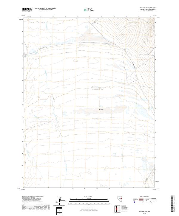
2021 Map of Big Hard Pan
USGS Topo · Published 2021About this map
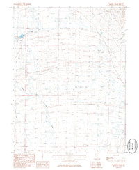
Big Hard Pan and the dry flats of Spring Valley dominate this high-desert landscape in eastern Nevada. This recent survey by the U.S. Geological Survey illustrates a complex drainage network where intermittent streams like Spring Valley Cr, Muncy Cr, and Kalamazoo Cr descend from the surrounding mountains toward the valley floor. The hydrology of the area is characterized by seasonal water features and washes, including the aptly named Dust Bowl Lake and White Cloud Wash. Human presence is marked by sparse infrastructure, with White Pine Co Road 37 providing passage through the northern portion of the quadrangle and Eight Mile Ranch Rd skirting the eastern edge. The map captures the remote character of White Pine County, showing the vast open expanses defined by ancient lake beds and rugged alluvial fans.
Find a feature on this map
15 named features on this map. Tap any name to fly to it.
Don’t see what you’re looking for? This feature index may not catch every label — zoom into the map to look around manually.
Map Details
Editions of this 2021 Big Hard Pan Map
This is the sole edition of this map. No revisions or reprints were ever made.
Other maps of this area

1952 · Ely
USGS Topo · 1:125,000

1956 · Ely
USGS Topo · 1:250,000

1959 · Ely
USGS Topo · 1:250,000

1959 · Schell Peaks
USGS Topo · 1:62,500

1963 · Ely
USGS Topo · 1:250,000

1981 · North Schell Peak
USGS Topo · 1:24,000
1982 · Kalamazoo Creek
USGS Topo · 1:24,000
1982 · Silver Canyon
USGS Topo · 1:24,000
1986 · Third Butte West
USGS Topo · 1:24,000
1986 · Big Hard Pan
USGS Topo · 1:24,000