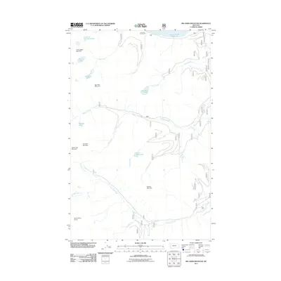
2011 Map of Big Hawk Mountain
USGS Topo · Published 2011About this map
Big Hawk Mountain and the surrounding peaks of the Swan Range dominate this landscape east of the Hungry Horse Reservoir in the early 21st century. The map reveals a high-alpine environment where peaks like Three Eagles Mountain, Tom Tom Mountain, and Broken Leg Mountain form a jagged divide between drainage basins. To the north, the Graves Bay Campground sits along the shoreline of the reservoir, accessed by Forest Service Road 895.
Find a feature on this map
29 named features on this map. Tap any name to fly to it.
Don’t see what you’re looking for? This feature index may not catch every label — zoom into the map to look around manually.
Map Details
Editions of this 2011 Big Hawk Mountain Map
This is the sole edition of this map. No revisions or reprints were ever made.
Other maps of this area

1914 · Nyack
USGS Topo · 1:125,000

1955 · Choteau
USGS Topo · 1:250,000

1957 · Choteau
USGS Topo · 1:250,000

1958 · Choteau
USGS Topo · 1:250,000

1958 · Quintonkon
USGS Topo · 1:24,000

1958 · Felix Peak
USGS Topo · 1:24,000

1960 · Cut Bank
USGS Topo · 1:250,000

1962 · Choteau
USGS Topo · 1:250,000

1963 · Cut Bank
USGS Topo · 1:250,000

1964 · Cut Bank
USGS Topo · 1:250,000