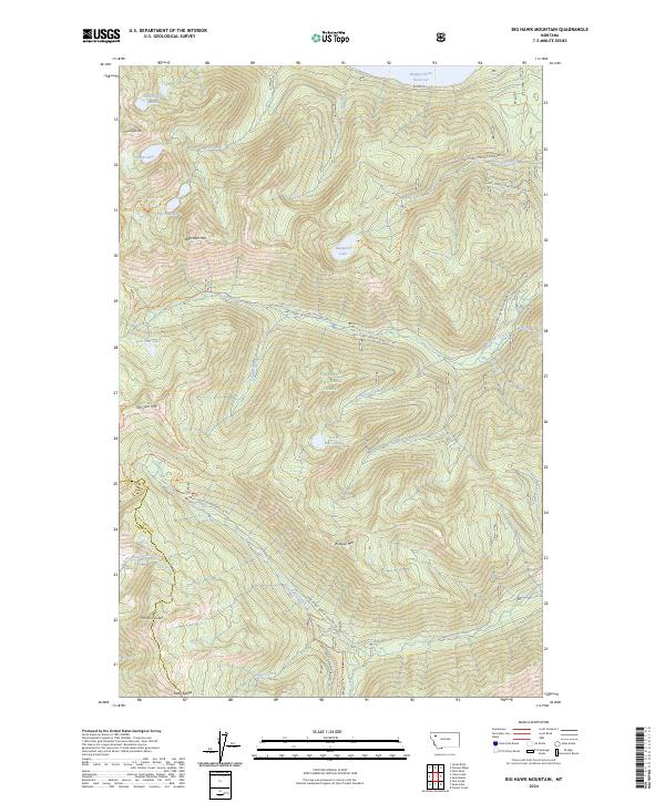
2024 Map of Big Hawk Mountain
USGS Topo · Published 2024About this map
The Swan Range dominates this portion of the Flathead National Forest, where high-elevation basins hold a series of alpine waters. The map reveals a landscape defined by dramatic relief, from the summits of Big Hawk Mtn and Mt Orvis Evans down to the southern reaches of the Hungry Horse Reservoir. A network of Forest Service development roads, such as Natl Forest Develop Road 381 Rd, provides access to the interior, while established paths like the Alpine Big Hawk Trl and Tom Tom Trl connect the various peaks and tarns.
Find a feature on this map
52 named features on this map. Tap any name to fly to it.
Don’t see what you’re looking for? This feature index may not catch every label — zoom into the map to look around manually.
Map Details
Editions of this 2024 Big Hawk Mountain Map
This is the sole edition of this map. No revisions or reprints were ever made.
Other maps of this area

1914 · Nyack
USGS Topo · 1:125,000

1955 · Choteau
USGS Topo · 1:250,000

1957 · Choteau
USGS Topo · 1:250,000

1958 · Choteau
USGS Topo · 1:250,000

1958 · Quintonkon
USGS Topo · 1:24,000

1958 · Felix Peak
USGS Topo · 1:24,000

1960 · Cut Bank
USGS Topo · 1:250,000

1962 · Choteau
USGS Topo · 1:250,000

1963 · Cut Bank
USGS Topo · 1:250,000

1964 · Cut Bank
USGS Topo · 1:250,000