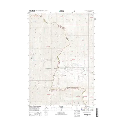
2013 Map of Big Hole Pass
USGS Topo · Published 2013About this map
Continental Divide crests through this mountain landscape, serving as the high-altitude border between Idaho and Montana and separating the Salmon National Forest from the Beaverhead National Forest. This remote corridor is defined by its dramatic relief and significant mountain passes, most notably Big Hole Pass, which provides a crossing point through the high ridges. The map reveals a network of gulches and drainages, including Thompson Gulch and Bradley Gulch, which feed into various creeks like Nez Perce Cr and Dahlonega Cr.
Find a feature on this map
45 named features on this map. Tap any name to fly to it.
Don’t see what you’re looking for? This feature index may not catch every label — zoom into the map to look around manually.
Map Details
Editions of this 2013 Big Hole Pass Map
This is the sole edition of this map. No revisions or reprints were ever made.
Other maps of this area

1955 · Dillon
USGS Topo · 1:250,000

1957 · Dillon
USGS Topo · 1:250,000

1958 · Dillon
USGS Topo · 1:250,000

1962 · Dillon
USGS Topo · 1:250,000

1965 · Dillon
USGS Topo · 1:250,000

1966 · Lost Trail Pass
USGS Topo · 1:24,000

1966 · Shewag Lake
USGS Topo · 1:24,000

1966 · Big Hole Battlefield
USGS Topo · 1:24,000

1966 · Jumbo Mountain
USGS Topo · 1:24,000

1966 · Big Hole Pass
USGS Topo · 1:24,000