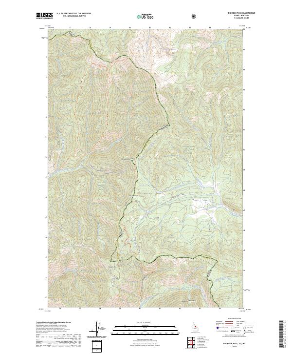
2024 Map of Big Hole Pass
USGS Topo · Published 2024About this map
Big Hole Pass sits at the high-elevation boundary between Idaho and Montana, serving as a critical crossing point between the Salmon National Forest and Beaverhead National Forest. This modern 2024 survey documents the complex watershed system of the Bitterroot Mountain range, where headwaters like Nez Perce Creek flow west while Ruby Creek drains toward the east. The map captures the current course of the Continental Divide National Scenic Trl as it traces the ridge through the Continental Divide. Land access is shown through forest roads such as Gibbonsville Rd and Dahlonega Creek Rd, illustrating the intersection of recreation and resource management in this high-altitude landscape. Notable peaks like Morgan Mtn and Three Mile Ridge Tri anchor the topography, providing a detailed view of the terrain that has historically separated Lemhi and Beaverhead counties.
Find a feature on this map
41 named features on this map. Tap any name to fly to it.
Don’t see what you’re looking for? This feature index may not catch every label — zoom into the map to look around manually.
Map Details
Editions of this 2024 Big Hole Pass Map
This is the sole edition of this map. No revisions or reprints were ever made.
Other maps of this area

1955 · Dillon
USGS Topo · 1:250,000

1957 · Dillon
USGS Topo · 1:250,000

1958 · Dillon
USGS Topo · 1:250,000

1962 · Dillon
USGS Topo · 1:250,000

1965 · Dillon
USGS Topo · 1:250,000

1966 · Lost Trail Pass
USGS Topo · 1:24,000

1966 · Shewag Lake
USGS Topo · 1:24,000

1966 · Big Hole Battlefield
USGS Topo · 1:24,000

1966 · Jumbo Mountain
USGS Topo · 1:24,000

1966 · Big Hole Pass
USGS Topo · 1:24,000