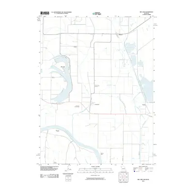
2010 Map of Big Lake
USGS Topo · Published 2010About this map
Big Lake dominates this Missouri riverfront landscape, surrounded by an intricate network of wetlands and drainage channels in Holt County. The area’s hydrological history is visible in the complex waterways of Tarkio Creek, the Old Channel Tarkio River, and Old Channel Little Tarkio Creek, which reveal how the river valley has been managed over generations. Small agricultural settlements like Fortescue, Bigelow, and Napier serve as anchors for the rural community, while numerous family-named burial grounds, including Catron Cemetery and Tarkio Chapel Cemetery, offer significant touchpoints for genealogical research. To the east, specialized wetland habitats like Mallard Marsh, Pintail Pool, and Pelican Pool highlight the region's importance as a migratory corridor. The winding Missouri River itself defines the southwestern boundary, carving distinctive features like Nemaha Bends and Squaw Bend into the floodplains.
Find a feature on this map
27 named features on this map. Tap any name to fly to it.
Don’t see what you’re looking for? This feature index may not catch every label — zoom into the map to look around manually.
Map Details
Editions of this 2010 Big Lake Map
This is the sole edition of this map. No revisions or reprints were ever made.
Other maps of this area

1885 · Atchison
USGS Topo · 1:125,000

1888 · Atchison
USGS Topo · 1:125,000

1893 · Atchison
USGS Topo · 1:125,000

1920 · Craig
USGS Topo · 1:62,500

1926 · Oregon
USGS Topo · 1:62,500

1926 · Maitland
USGS Topo · 1:62,500

1950 · Kansas City
USGS Topo · 1:250,000

1954 · Kansas City
USGS Topo · 1:250,000

1955 · Nebraska City
USGS Topo · 1:250,000

1956 · Kansas City
USGS Topo · 1:250,000