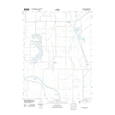
2012 Map of Big Lake
USGS Topo · Published 2012About this map
The Missouri River creates a dynamic western boundary for this portion of Holt County, where the river's historical shifts have left behind prominent landforms like Nemaha Bends and Squaw Bend. Centered around the oxbow of Big Lake, the landscape is a complex network of hydrological history, marked by the Old Channel Tarkio River and Old Channel Little Tarkio Creek. These former watercourses trace the legacy of flood control and agricultural drainage in the Missouri River bottomlands.
Find a feature on this map
68 named features on this map. Tap any name to fly to it.
Don’t see what you’re looking for? This feature index may not catch every label — zoom into the map to look around manually.
Map Details
Editions of this 2012 Big Lake Map
This is the sole edition of this map. No revisions or reprints were ever made.
Other maps of this area

1885 · Atchison
USGS Topo · 1:125,000

1888 · Atchison
USGS Topo · 1:125,000

1893 · Atchison
USGS Topo · 1:125,000

1920 · Craig
USGS Topo · 1:62,500

1926 · Oregon
USGS Topo · 1:62,500

1926 · Maitland
USGS Topo · 1:62,500

1950 · Kansas City
USGS Topo · 1:250,000

1954 · Kansas City
USGS Topo · 1:250,000

1955 · Nebraska City
USGS Topo · 1:250,000

1956 · Kansas City
USGS Topo · 1:250,000