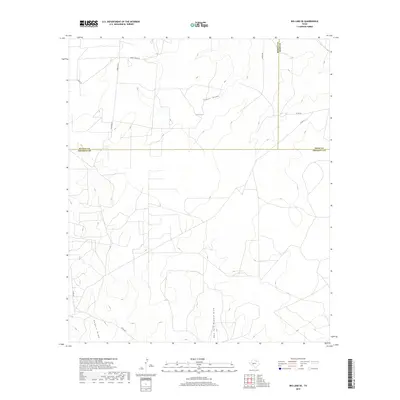
2019 Map of Big Lake SE
USGS Topo · Published 2019About this map
Tepee Draw winds through the high desert landscape where the borders of Crockett, Irion, and Reagan counties converge. This 2019 survey captures a remote ranching region defined by intermittent drainage systems and a network of private and county roads that follow the contours of the West Texas terrain. To the south, Howard Draw and its East Fork Howard Draw carve deep impressions into the plateau, illustrating the natural water management of the Edwards Plateau. The map reveals the infrastructure of modern ranching, with named routes like Ranch House Rd and Ferguson Ln providing access to isolated homesteads and livestock operations. This specialized topography is essential for researchers tracking land use and property boundaries in this sparsely populated section of the Permian Basin.
Find a feature on this map
13 named features on this map. Tap any name to fly to it.
Don’t see what you’re looking for? This feature index may not catch every label — zoom into the map to look around manually.
Map Details
Editions of this 2019 Big Lake SE Map
This is the sole edition of this map. No revisions or reprints were ever made.
Other maps of this area

1920 · Big Lake
USGS Topo · 1:62,500

1920 · Barnhart
USGS Topo · 1:62,500

1922 · Big Lake
USGS Topo · 1:62,500

1922 · Barnhart
USGS Topo · 1:62,500

1954 · Sonora
USGS Topo · 1:250,000

1954 · San Angelo
USGS Topo · 1:250,000

1958 · Sonora
USGS Topo · 1:250,000

1958 · San Angelo
USGS Topo · 1:250,000

1965 · San Angelo
USGS Topo · 1:250,000

1967 · Schneeman Draw NW
USGS Topo · 1:24,000