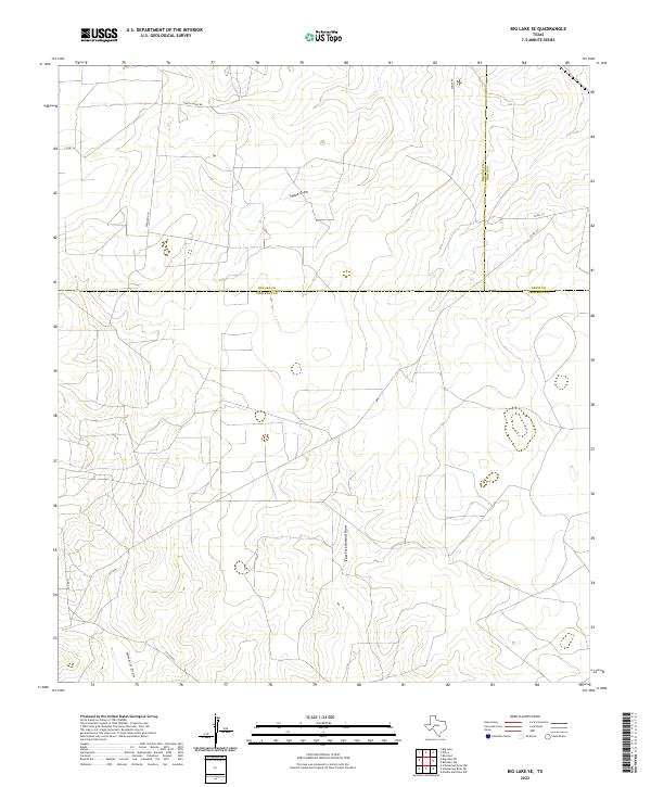
2022 Map of Big Lake SE
USGS Topo · Published 2022About this map
The high plateau of the Edwards Plateau region is defined here by the meeting of three West Texas counties: Reagan, Irion, and Crockett. The landscape is dominated by seasonal drainage networks, most notably Tepee Draw and East Fork Howard Draw, which carve subtle relief into the arid terrain. This 2022 survey illustrates a sparsely populated ranching environment where large landholdings are connected by a network of local roads such as Ranch House Rd and Ferguson Ln. The absence of dense settlements highlights the vastness of the region's cattle and sheep country, where the most significant markers of human activity are named lanes like Elkins Rd and the prominent Howard Draw. These topographic features remain central to the geography of this portion of the Texas Permian Basin.
Find a feature on this map
13 named features on this map. Tap any name to fly to it.
Don’t see what you’re looking for? This feature index may not catch every label — zoom into the map to look around manually.
Map Details
Editions of this 2022 Big Lake SE Map
This is the sole edition of this map. No revisions or reprints were ever made.
Other maps of this area

1920 · Big Lake
USGS Topo · 1:62,500

1920 · Barnhart
USGS Topo · 1:62,500

1922 · Big Lake
USGS Topo · 1:62,500

1922 · Barnhart
USGS Topo · 1:62,500

1954 · Sonora
USGS Topo · 1:250,000

1954 · San Angelo
USGS Topo · 1:250,000

1958 · Sonora
USGS Topo · 1:250,000

1958 · San Angelo
USGS Topo · 1:250,000

1965 · San Angelo
USGS Topo · 1:250,000

1967 · Schneeman Draw NW
USGS Topo · 1:24,000